Ngutuoha Nature Trail
Alerts
Check the DOC website for current alerts and conditions before you go. This site gets current alert info from DOC, but is not an official source of information.
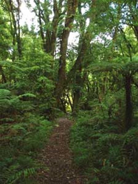
An easy loop trail with interpretation panels provide a 1 hour walking experience in the Waimana Valley at the north end of Te Urewera.
Elevation
Cover mapped summer 2023/24.
Description
This 2 km walk starts opposite the Lions Education Centre and follows the road north before crossing the road and returning alongside the Tauranga River. It follows an easy grade and interpretation panels are provided along the way
Getting there
The track is located in the Waimana Valley at the north end of Te Urewera. The Bell Road turnoff from State Highway 2 is one of the main access routes to this part of the park. The road travels about 30 km up the valley to the Matahi Valley Road end. Caution is advised as most of this road is unsealed, narrow and windy.
Weather
Forecast at the start of the track