Ngapuketurua Track
Alerts
NIWA weather risks
NIWA's Parks Weather site lists daily weather risks for the forecast point below.
Sorry, we can't show NIWA weather or alerts on this site. NIWA doesn't permit paid apps to do this.
Forecast point: Waipakihi Hut (1100m) · 9.1km away
Check the DOC website for current alerts and conditions before you go. This site gets current alert info from DOC, but is not an official source of information.
This track begins on the Kiko Loop and continues as far as the park boundary on the slopes of Mt Ngapuketurua.
Elevation
Cover mapped summer 2023/24.
Description
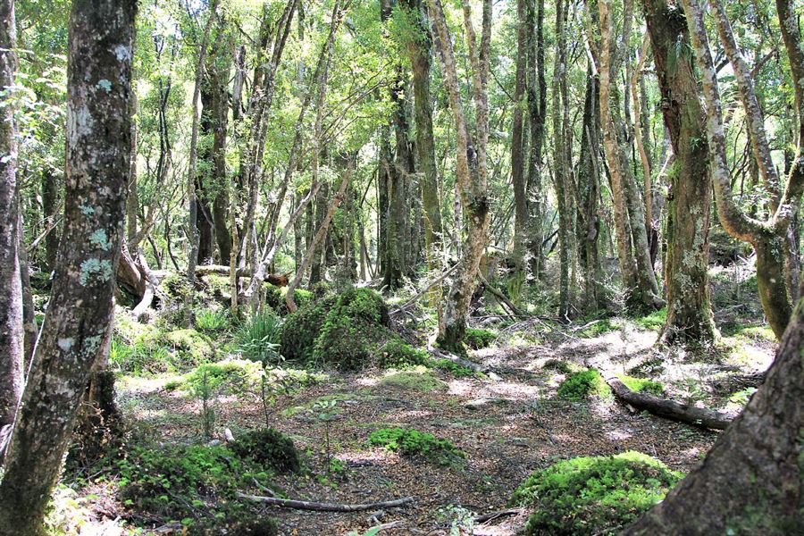
The track starts half way round the Kiko Loop Track. The first section is well-benched and graded, but after about 30 minutes it begins to climb steeply through beech forest.
The track provides access to good hunting country below the Ngapuketurua bush line.
Getting there
10 km north of Tūrangi, turn off SH1 onto Kiko Road. Follow this for 17 km through the privately-owned Lake Taupo Forest to the park boundary.
Know before you go
This track once led from Kiko Road over Ngapuketurua to Cascade Hut, but now access ends at the park boundary with East Taupo lands block. Contact Helisika, phone +64 7 384 2816.
Weather
Forecast at the start of the track