Newcastle Track
Alerts
Check the DOC website for current alerts and conditions before you go. This site gets current alert info from DOC, but is not an official source of information.
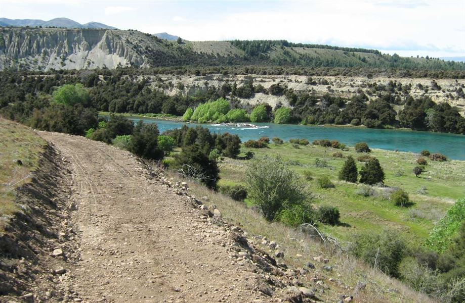
Suitable for biking and walking this track follows the true left of the Clutha River from Hāwea River swing bridge to Kane Road.
Elevation
Cover mapped summer 2023/24.
Sampled from the national 8m elevation model. No LiDAR survey covers this route yet.
Description
This track enhances public access to the Clutha River where walkers, cyclists and runners are able to enjoy views of the river and panoramic shots of the surrounding peaks.
A loop option is possible when combined with the Upper Clutha River Track, located on the true right of the river.
This cycle track weaves its way around the true left of the Clutha River through typical Otago grasslands, Matagori and Kanuka landscapes. The undulating terrain provides variety for mountain bikers seeking more of a challenge than the trails on the true right of the river.
It was designed by the Upper Clutha Tracks Trust and formed by DOC.
Getting there
The Newcastle Track is found on the true left of the Clutha River and can be accessed from either the Hāwea River swing bridge; Albert Town or the Kane Road car park.
Know before you go
There is damage on secions of the track - take extra care crossing these. After wet weather, cyclists may need to dismount and carry their cycles over damaged sections.
Weather
Forecast at the start of the track