Mt Titiraupenga Track
Alerts
NIWA weather risks
NIWA's Parks Weather site lists daily weather risks for the forecast point below.
Sorry, we can't show NIWA weather or alerts on this site. NIWA doesn't permit paid apps to do this.
Forecast point: Mt Pureora (1165m) · 4.9km away
Check the DOC website for current alerts and conditions before you go. This site gets current alert info from DOC, but is not an official source of information.
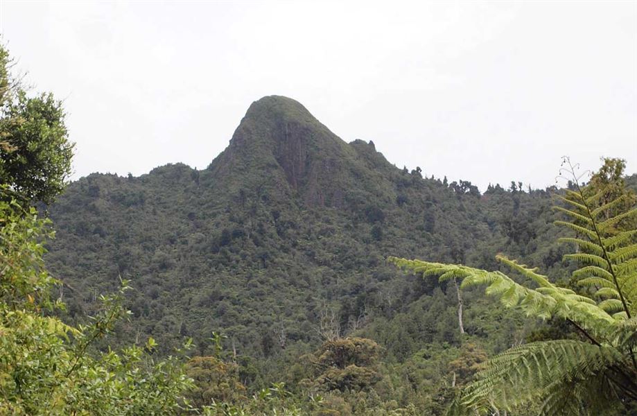
Mount Titiraupenga Track climbs to a stunning lookout point just below the summit rock.
Elevation
Cover mapped summer 2023/24.
Description
Walk to the Centre of the North Island cairn and turn right onto the Mt Titiraupenga Track, joining the Arataki Track (overgrown) at a lookout point just below the summit rock.
The summit of Mt Titiraupenga is Māori land and a taonga/treasure to local iwi. Respect cultural values by not climbing the summit rock.
Getting there
The track starts from the Centre of the North Island Walk which is accessed using Link and Waimonoa Roads.
From SH30, turn onto Barryville Road, then Link Road. From SH32 turn onto Kakaho Road which becomes Link Road.
Weather
Forecast at the start of the track