Mt Miserable Conical Peak Route
Alerts
Check the DOC website for current alerts and conditions before you go. This site gets current alert info from DOC, but is not an official source of information.
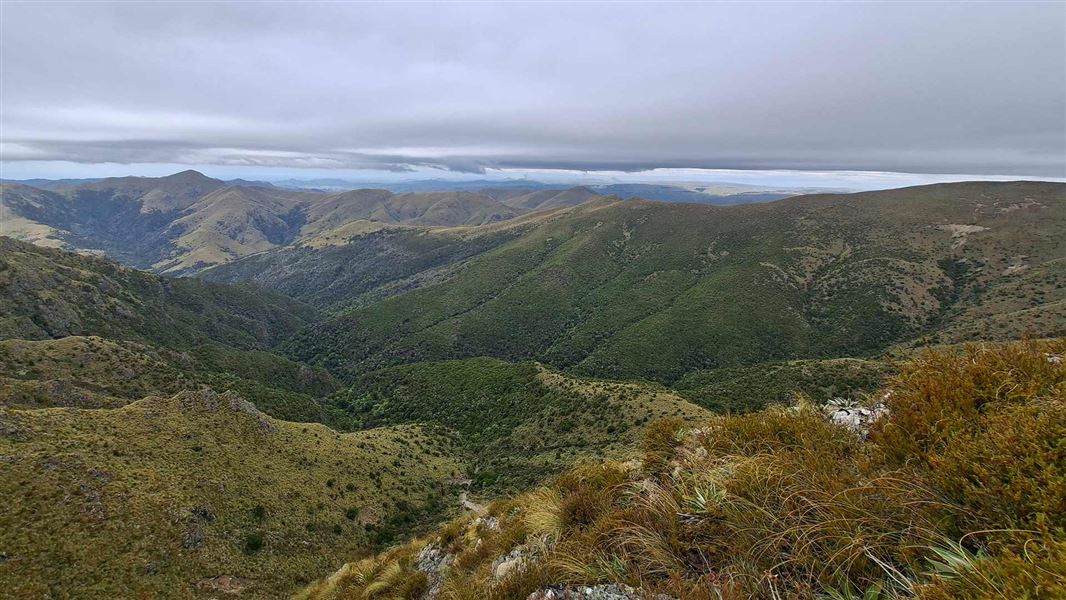
Route providing access to the spectacular tussock tops of Bell Saddle, Mt Miserable, and the Waianakarua Scenic Reserve.
Elevation
Cover mapped summer 2023/24.
Sampled from the national 8m elevation model. No LiDAR survey covers this route yet.
Description
Much of this route is either access-easement across private property, or along the boundary fence of the Waianakarua Scenic Reserve. No dogs or hunting are allowed on easements across private property.
The route can be walked in either direction – this description details starting at Waianakarua Scenic Reserve carpark.
From the carpark follow signs and markers heading west along the fenceline uphill onto Mt Miserable. It is approximately 2 hrs (4 km) to Bell Saddle. Just before Bell Saddle a short signposted side trip will take you via an easement to the high point of Mt Miserable.
The route then continues along the boundary of the scenic reserve for 2.5 km before the final 11 km of marked access-easement, mostly along farm tracks, to the Conical Peak carpark on SH85.
Getting there
Getting to Waianakarua Scenic Reserve carpark
Turn onto Mt Misery Road, 4 km south of Herbert on SH1. Continue along for 15 km, through Glencoe Run to the carpark. Glencoe Run is a working farm and this section of road is suitable for 4WD vehicles only. Follow orange markers.
Mt Miserable Conical Peak Route is signposted at the carpark.
Logging trucks and farm vehicles use this road frequently, keep to the left, drive with your headlights on and drive to the conditions.
Vehicle access may be reduced if track conditions are too wet.
Getting to Conical Peak carpark
Conical Peak carpark is located on the Northern side of SH 85, approximately 13 km north of Dunback.
There is a DOC sign marking the entrance to the access to Waianakarua Scenic Reserve.
Know before you go
Changeable weather
Be prepared for all conditions on your trip, including at least one wet day. Before your trip, check the latest weather and conditions so you know what to plan for.
Tell someone your plans and carry a distress beacon
This is remote backcountry tramping. Be prepared and always carry a distress beacon.
Weather
Forecast at the start of the track