Mt Judah / Heather Jock Tracks
Alerts
Avalanche NZ
Check Avalanche NZ for the full avalanche forecast before you go.
Sorry, we can't show Avalanche NZ forecasts or alerts on this site. Avalanche NZ doesn't permit it.
Check the DOC website for current alerts and conditions before you go. This site gets current alert info from DOC, but is not an official source of information.
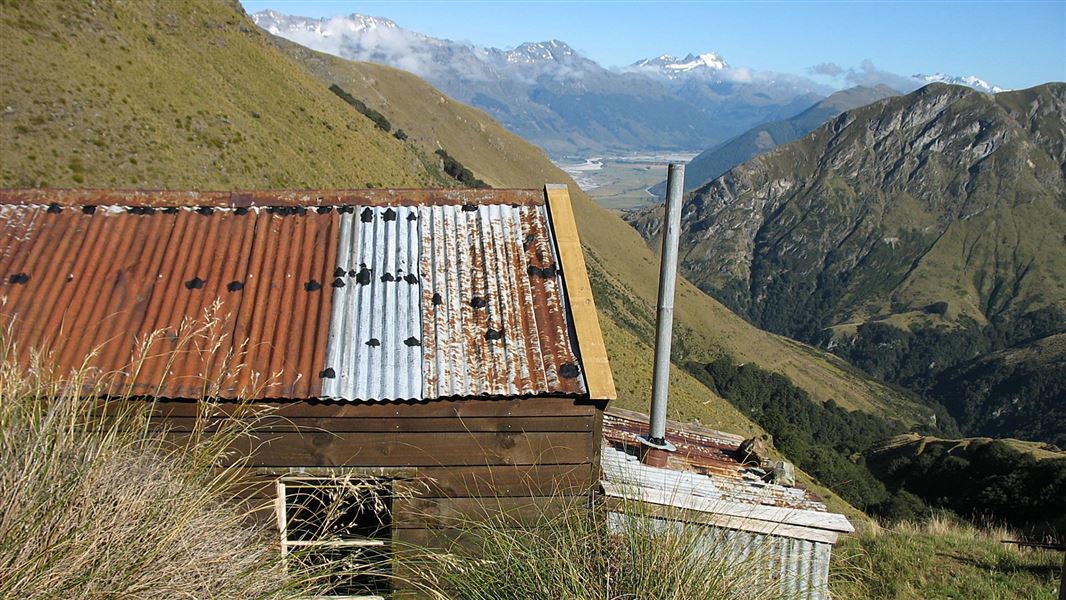
Scheelite mining history, open tussock country and grand views await on these tracks - with the option of staying overnight in the basic Heather Jock Hut.
Elevation
Cover mapped summer 2023/24.
Sampled from the national 8m elevation model. No LiDAR survey covers this route yet.
Description
From the information shelter, an easy climb leads up the old Mt Judah Road, which sidles around the northern side of Mt Judah.
The track passes the Glenorchy Scheelite Battery (10 min) and the State Mine (1 hr) before reaching a junction 1 hr 30 min from the car park.
From the junction continue up to the end of the Judah Road. From here, Bonnie Jean Hut (day use only) is a half hour climb up a marked track.
From Bonnie Jean Hut you can continue on Heather Jock Loop Track to Heather Jock Hut.
Mountain biking
Intermediate track, gentle to steep climb.
This is a shared-use track. Follow the mountain bikers code: respect others, respect the rules, respect the track.
Horse riding
Horse riding is also possible on this track.
Getting there
Turn to the right off the Queenstown-Glenorchy Rd, 2 km before Glenorchy, to reach the Whakaari Conservation Area carpark.
Know before you go
Safety information
- The Whakaari tracks are alpine and exposed: changeable weather, extreme temperatures, strong winds, snow and ice are possible at any time of year. Not recommended during winter months or unfavourable conditions.
- Streams may flood at any time of year due to rain or snow melt and should not be crossed in flood.
- Dangerous mine tunnels are present and may be hidden by vegetation. Do not enter tunnels.
Use NZTopo50 map sheets CB10.
Avalanche danger
Avalanches usually occur from May to November in Wakatipu, Wānaka and Central Otago. There can also be avalanches outside this period, if there is still snow coverage.
If you are going into avalanche terrain, always:
- have the relevant avalanche skills and training
- check the ATES rating and New Zealand Avalanche Advisory
- go with a buddy. Both of you should carry and know how to use an avalanche transceiver, a snow shovel and a probe.
There are steep drop offs in this area – caution is required.
Unsafe water source Whakaari
Due to historic mining activities, high levels of arsenic and heavy metals may be present in the soil and streams in the Whakaari area. Filtering or boiling the stream water does not remove the contamination.
Visitors should not use the natural water sources for drinking, cooking, or washing based on current information available on the contamination.
Heather Jock, McIntyre and McIntosh huts may have water in their tanks for use, but this is not guaranteed. Carry all the water you need when you visit the site.
Nearby
Weather
Forecast at the start of the track