Mount Tutamoe Track
Alerts
Check the DOC website for current alerts and conditions before you go. This site gets current alert info from DOC, but is not an official source of information.
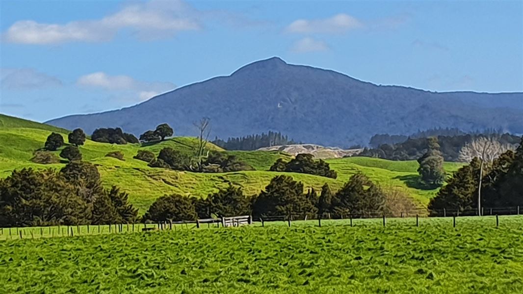
Climb through Kaihu Forest to the top of Mount Tutamoe and you will be rewarded by stunning, panoramic views.
Elevation
Cover mapped summer 2023/24.
Description
This track travels up through pine plantation and then enters Kaihu Forest climbing to Mount Tutamoe. The first hour is spent climbing up through the pine plantation along forestry roads – orange pole markers show the way and there are large orange triangles at road junctions. Along the way, you get pleasant views of the valley below.
Once in the bush, the track follows up a ridge through dense lowland hardwood/podocarps forest of mainly tawa, towai, maire, miro and rimu. After a steady climb for about 40 minutes, the track gets very steep in the last 50 m before the summit and you will need to climb over rocks and roots.
Getting there
Track starts off Tangowahine Valley Road. Get there from Dargaville, Whangārei, or Kaikohe.
From Dargaville or Whangārei, turning off SH14 at Tangowahine signposted as Pakotai 26 km and Kaikohe 66 km. Stay on this route until you see a yellow sign indicating Tangowahine Valley Road (no exit). Continue this road up the valley for almost 24 km.
From Kaikohe, head south on Mangakahia Road for 37 km. Turn right onto Opouteke Road, and follow the road for about 4 km. Turn left on to Murray Road, then right onto Tangowahine Valley Road. Follow this for about 6.4 km.
The track is clearly marked at the forestry road entrance. From the car park follow the forestry road for 2.2 km before leaving the road and entering pine forest. The track follows orange marker posts and triangles.
Know before you go
- Nearest petrol station north is Dargaville 38 km away.
- Access to this track is by courtesy of private land owners. Respect the owner’s property and leave gates as you find them.
- In strong winds, beware of falling branches
- On extended bush walks a compass and topographical map are recommended. Topographical maps can be obtained from Land Information New Zealand and DOC visitor centres.
- Streams can be inaccessible after heavy rain and should not be attempted
- Food, drink, warm clothes and wet weather gear should be carried.
Nature and conservation
Mount Tutamoe is the second highest peak in Northland (770 m).
The forests of Marlborough and Kaihu are of high ecological importance. Kaihu forest is a distinctive high altitude plateau rising to Mount Tutamoe and is covered in dense swamp forest with emergent rimu, northern rata, pukatea and maire. Its lower slopes contain regenerating shrubland and the relics of early kauri logging.
Weather
Forecast at the start of the track