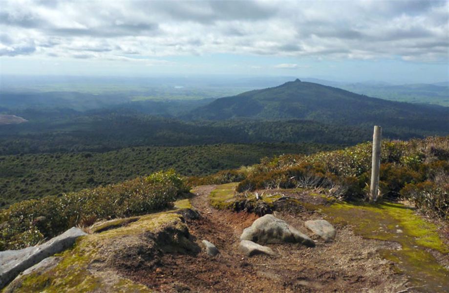
Mount Pureora from Link Road
Alerts
NIWA weather risks
NIWA's Parks Weather site lists daily weather risks for the forecast point below.
Sorry, we can't show NIWA weather or alerts on this site. NIWA doesn't permit paid apps to do this.
Forecast point: Mt Pureora (1165m) · 0.1km away
Check the DOC website for current alerts and conditions before you go. This site gets current alert info from DOC, but is not an official source of information.
On a clear day, enjoy views across Lake Taupo, the Mamaku Ranges, Mount Taranaki and Mount Ruapehu from the summit of Mount Pureora.
Elevation
Cover mapped summer 2023/24.
Description
This is the shortest route to the top of Mount Pureora. It's a well maintained track with bridges across all waterways and a boardwalk towards the summit.
Getting there
From SH30, turn onto Maraeroa Road, then Barryville Road, then Link Road. The start of the track is about 14 km along Link Road.
The carpark is on the opposite side of the road to the track entrance. Note, the track on the same side as the car park is a different track.
Know before you go
There is no petrol available near Pureora village or the track.
There are also no toilets along the track - use the toilets in Pureora Village on Barryville Road.
Check the Mount Pureora weather forecast – NIWA website.
Nature and conservation
The altitude affects the vegetation pattern on Mount Pureora, where the tallest podocarp trees occur at the lowest altitudes and the canopy height steadily decreasing as the altitude increases. On the summit the vegetation is reduced in many places to a low turf with occasional low shrubs, allowing for amazing views.
History and culture
Mount Pureora is a sacred mountain for many tribes in the Central North Island, and we recognise the relationship of our iwi partners Ngāti Rereahu, Ngāti Maniapoto, Raukawa, and Ngāti Tuwharetoa with the mountain.
Weather
Forecast at the start of the track