Mount Fox Route
Alerts
Check the DOC website for current alerts and conditions before you go. This site gets current alert info from DOC, but is not an official source of information.
Mount Fox Route is just 3 km south of the town of Fox Glacier. The challenging climb to the top is only suitable for experienced and properly equipped trampers.
Elevation
Cover mapped summer 2023/24.
Description
For experienced and well-equipped trampers only. Check with the Westland Tai Poutini National Park Visitor Centre before starting.
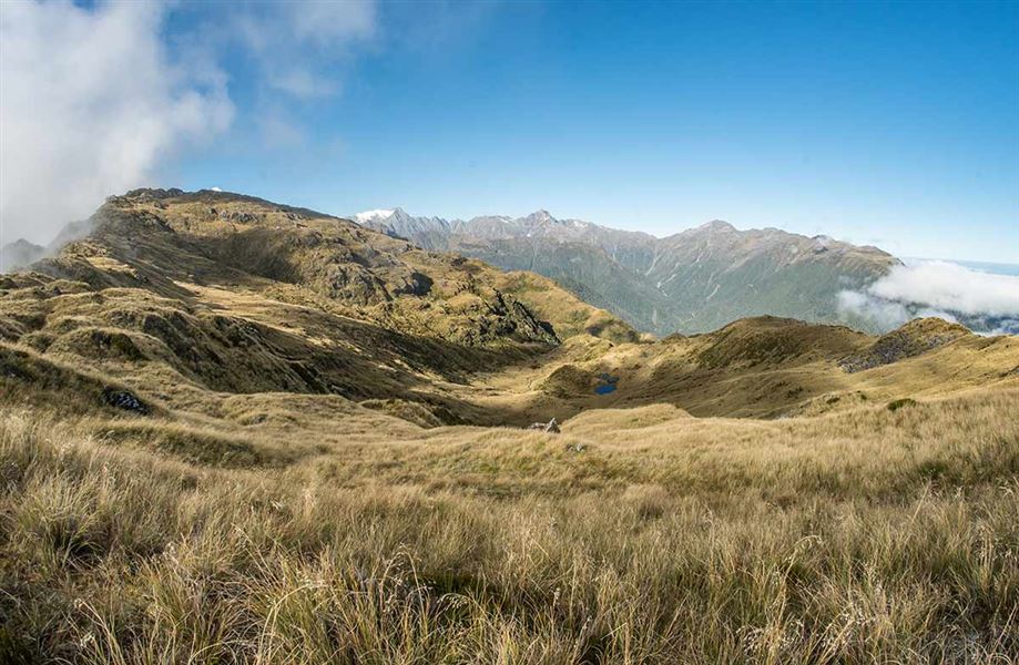
This rough route climbs steeply through the bush up a spur to a trig point at 1021 m above sea level. The route then follows blue and orange markers through grassland to 1345 m.
From here your efforts will be well rewarded with fantastic views of the Southern Alps Kā Tiritiri o te Moana and Fox Glacier Te Moeka o Tuawe in one direction and across coastal forest and farmland to the coast to the other.
Take care above the bushline as the track can easily be lost if conditions are misty or if the cloud descends.
Start early in the morning to be on the mountain top before cloud rolls in obscuring the view. This is a regular event, particularly in the summer months.
Getting there
Drive south for approximately 3 km from Fox Glacier Weheka township, until you reach Thirsty Culvert. There is a small parking area on the right hand side of the road while the route starts on the left.
Know before you go
- Check the current track conditions and weather forecasts on Metservice or at the local DOC office (Fox Glacier Weheka township) or the Westland Tai PoutiniNational Park Visitor Centre before starting your trip.
- Always take warm and waterproof clothing as the weather can change fast.
- Carry drinking water, insect repellent and sun protection at all times.
Weather
Forecast at the start of the track