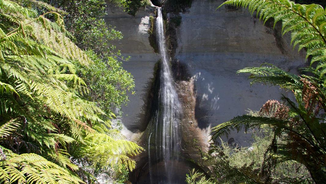
Mount Damper Falls Walk
Alerts
Check the DOC website for current alerts and conditions before you go. This site gets current alert info from DOC, but is not an official source of information.
This short walk leads to Mount Damper Falls, one of the highest falls in the North Island.
Elevation
Cover mapped summer 2023/24.
Description
At 74 m high, Mount Damper Falls are one of the highest in the North Island.
From the car park step over the style and walk over the formed track beside the creek. The first 10 minutes are over open farmland - respect private property, leave gates as you find them and stay on the track. Follow the track until you reach the bridge, from where the bush starts. The track descends gradually to two viewing platforms.
Getting there
The walk starts from Mount Damper Falls car park, on the Okau Road off SH3, 59 km north of New Plymouth.
Know before you go
- A long drop toilet is available by the car park.
- Large logging trucks are operating in this area. Drive carefully the narrow windy roads.
Dogs
Dogs are prohibited except where authorisation has been granted by DOC. People wishing to take a dog into this area need to get a permit from the local DOC office and have a current kiwi aversion certificate.
Avian awareness and avoidance training
To take dogs across private property, or tracks crossing farmland, you must get permission from the landowner.
Weather
Forecast at the start of the track