DOC track
Mount Barrosa Track
3.3km2 hr 30 min one wayAdvanced
Alerts
Notice
Check the DOC website for current alerts and conditions before you go. This site gets current alert info from DOC, but is not an official source of information.
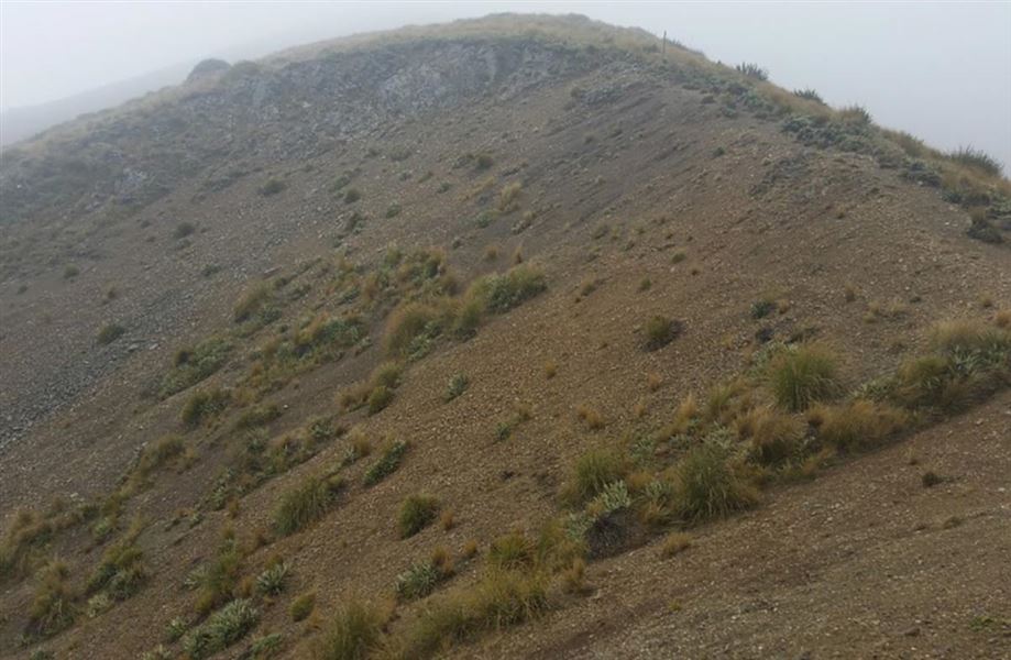
Climb to the top of Mount Barrosa (1364 m) for good views of the surrounding countryside.
Elevation
Climb
0m
Drop
833m
Highest point
1,363m
Lowest point
536m
Move over the chart to read the height.
Open Scrub
Longest open stretch
2.3km
Cover mapped summer 2023/24.
Description
Mount Barrosa (1364 m) is an easily accessible peak with good views out across Hakatere Conservation Park and even to Aoraki/Mount Cook.
Getting there
17 km west of Mount Somers, the track starts from a small car park on Ashburton Gorge Road, about 500 m east of Blowing Point Bridge. The car park gives access to public conservation land after a walk of 780 m.
Weather
Forecast at the start of the track