Monckton Walkway
Alerts
Check the DOC website for current alerts and conditions before you go. This site gets current alert info from DOC, but is not an official source of information.
Enjoy a short walk through native forest rich in kahikatea, tōtara, beech, mataī, tawa and kōwhai in Monckton Scenic Reserve.
Elevation
Cover mapped summer 2023/24.
Description
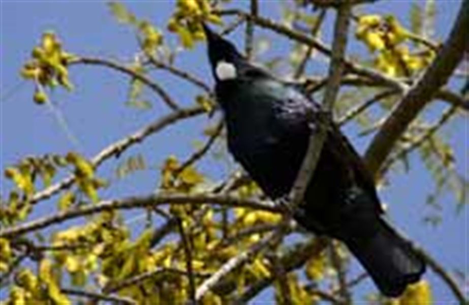
The 16.5 ha Monckton Scenic Reserve is a mixed podocarp and beech remnant, rich in kahikatea, tōtara, beech, mataī, tawa and kōwhai. Native birds are plentiful, with spring being a good time to visit as tūi and bellbirds are attracted to the many flowering kōwhai trees.
Climb down a bank and cross a stream to start the track. The track itself is easily walked as it climbs and descends to the picturesque Tangarewai Stream.
Use the facilities provided for picnicking and barbecuing after you’ve enjoyed a walk or swim in the scenic reserve.
Getting there
From SH50, west of Waipukurau, turn into Ashley Clinton Rd. Turn to the right when you reach a fork in this road.
The car park periodically becomes muddy and unsuitable for vehicle use after periods of prolonged wet weather. Visitors should first go into the car park by foot to check if it is suitable for car parking.
Weather
Forecast at the start of the track