Mokaihaha Track
Alerts
Check the DOC website for current alerts and conditions before you go. This site gets current alert info from DOC, but is not an official source of information.
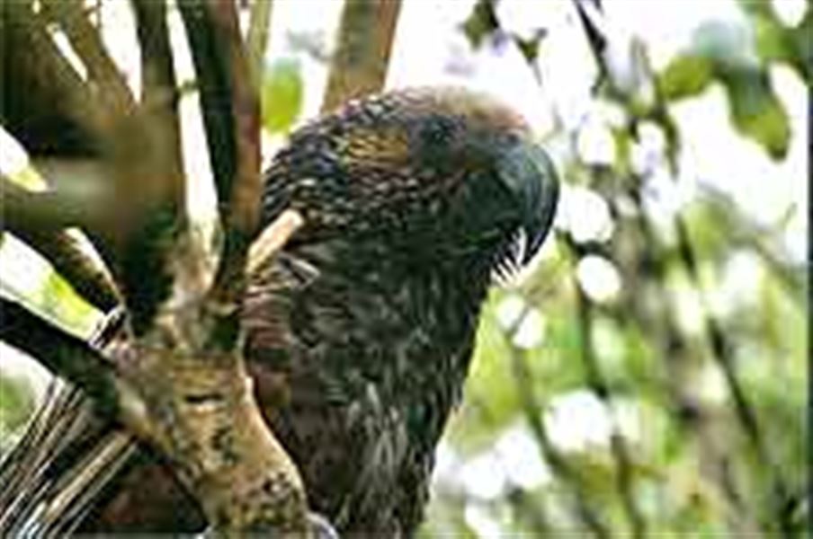
Large podocarps and a chance to hear kaka and other native birdlife while walking along the Mokaihaha Track which takes you past Lake Rotohokahoka.
Elevation
Cover mapped summer 2023/24.
Description
The track from the South Road carpark leads to Lake Rotohokahoka (20 minutes) and West Road (2 hours). Ten minutes walk from the carpark, the track divides; both tracks lead down to the lake and connect up again. The main track then continues past the lake and towards West Road. Along this section of the track there is an option of taking a signposted side-track off to your left, which after 30 minutes will bring you back out onto South Road, approximately 15 minutes walk from the South Road carpark.
Getting there
Mokaihaha Ecological Area is situated on the Mamaku Plateau, 9.6 km south-east of Mamaku township. From Rotorua follow SH5 (the main Rotorua-Hamilton highway) for 1 km. Turn left up Dansey road to Mamaku. At the end of this road turn left by Mamaku School and follow South road for 9.6 km until you reach the track sign on the right (west) side of the road. This is the start of the track, which ends at West road.
West road is found approximately 3 km further down South road. Due to its rough surface and particularly in wet weather, it is recommended only for 4 wheel-drive vehicles.
Know before you go
You need to be well prepared when tramping on conservation land, especially on longer day walks. Ensure you have strong comfortable boots, warm clothing, a good raincoat, first aid kit, food and drink, a hat and sunscreen. it is also advisable to leave your tramping intentions with a responsible person, in case you get lost.
This track is not suitable for mountain biking.
Weather
Forecast at the start of the track