Mitre Flats Track
Alerts
NIWA weather risks
NIWA's Parks Weather site lists daily weather risks for the forecast point below.
Sorry, we can't show NIWA weather or alerts on this site. NIWA doesn't permit paid apps to do this.
Forecast point: Waitewaewae Hut (310m) · 14.3km away
Check the DOC website for current alerts and conditions before you go. This site gets current alert info from DOC, but is not an official source of information.
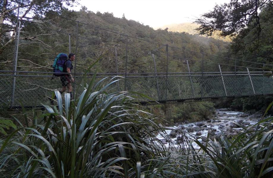
The Barra Track follows the Waingawa River to Mitre Flats and Mitre Flats Hut.
Elevation
Cover mapped summer 2023/24.
Description
The track passes along the true left of the Waingawa River, reaching Mitre Flats (and hut) in 4 - 5 hours. The return trip can be completed in 8 - 9 hours. You can enter and exit the Northern Crossing via this track.
Getting there
From Masterton turn off State Highway 2 into Upper Plain Road and then into Upper Waingawa Road to the Pines carpark where the Barra Track begins.
Nearby
Weather
Forecast at the start of the track