Mavora - Greenstone Walkway
Alerts
Avalanche NZ
Check Avalanche NZ for the full avalanche forecast before you go.
Sorry, we can't show Avalanche NZ forecasts or alerts on this site. Avalanche NZ doesn't permit it.
Check the DOC website for current alerts and conditions before you go. This site gets current alert info from DOC, but is not an official source of information.
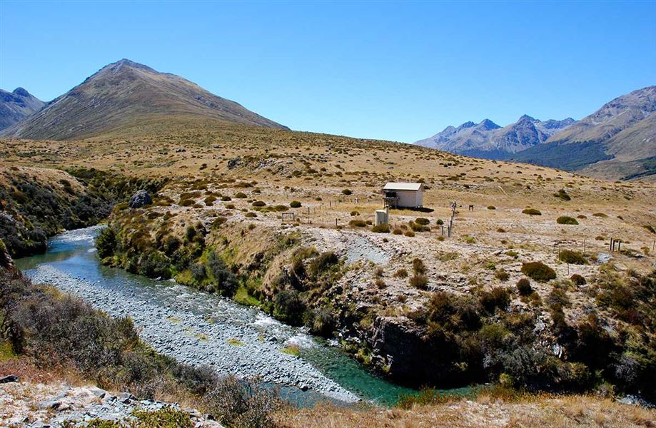
This is a 50 km, four day tramping trip, linking the Mavora Lakes Camping Area with the Greenstone Track. It passes through open valley tussock land and beech forested hill country. This track is part of Te Araroa Trail.
Elevation
Cover mapped summer 2023/24.
Description
This track is part of Te Araroa Trail.
This is a 50 km, four day tramping trip, linking the Mavora Lakes camping area with the Greenstone Track.
The tracks from the campsite to Boundary Hut and Forks Hut are suitable for mountain biking. Mountain bikes are not allowed on the track past Boundary and Forks huts.
The track from the campsite to Careys Hut is suitable for 4WD vehicles, however beyond this the tracks are very rough/difficult and not recommended for vehicle access. There is a locked gate on the track past along North Mavora Lake past the campsite. To access the track you'll need to follow the access rules and register to get the gate code.
North Mavora Lake to Careys Hut
Time: 2 hr
Distance: 10 km
From the Mavora camping area follow the four wheel drive track around the lake edge to the head of North Mavora Lake and Careys Hut (1 hour 30 minutes - 2 hours).
Careys Hut - Boundary Hut
Time: 2 hr
Distance: 6 km
From Careys Hut the walkway climbs beyond the hut, then splits into two branches. The right branch continues on to Boundary Hut (4 bunks). The left branch is a very rough 4WD track that crosses the confluence of Mararoa River and Windon Burn and then continues for 3 hr to Forks Hut (4 bunks).
Boundary Hut to Taipo Hut
Time: 3 - 4 hr
Distance: 12 km
From the hut cross the swingbridge and follow marker posts on the true right of the Mararoa River. The track sidles up along the toe of the hill and the true right of the valley and continues onto Taipo Hut. Access to the hut on the north side of the river is by swingbridge.
Taipo Hut to Greenstone Hut
Time: 4 - 5 hr
Distance: 10 km
The track follows the toe of the hill on the western side of the Pondburn Valley. Watch carefully opposite the middle of the top pond, as the track veers up a terrace into a forest, and continues to the saddle of the Passburn Valley (728 metres). The track drops steeply (marked by warratahs) to the stream (crossing on boulders), climbing and sidling around to the Greenstone Hut. The hut is sited in a bush clearing above the confluence of the Greenstone and Sly Burn, under the rocky pinnacles of Tooth Peaks.
Greenstone Hut to Greenstone Road End
Time: 3 - 5 hr
Distance: 11 km
The Greenstone River is crossed by a swingbridge and the Greenstone Track continues downstream to the road end car park. Alternatively, follow up the Greenstone Valley to Lake McKellar, Lake Howden and The Divide. Allow an extra day for this section of the Greenstone Track.
Getting there
The walkway is located in the Mavora Lakes Park. From State Highway 94 between Mossburn and Te Anau branch off at Centre Hill or Burwood Station and follow unsealed roads for 39 km. There is no regular public transport to the Mavora Lakes in winter.
Transport connections are available from the end of the Greenstone Track to Glenorchy, or from the Divide on the Milford Road.
Know before you go
What to expect
- The track is marked by poles and warratahs.
- Storms have casued track damage and extensive windfall in the Pass Burn area.
- Vistiors should allow for longer tramping times due to track damage and windfall.
Equipment
- Sections of the track are exposed to the rigours of mountain weather all year round and trampers should be well equipped.
- There are no heating facilities in Boundary or Taipo Huts, and no cooking facilities in any of the huts, so portable stoves must be carried.
Seasonal restrictions
- The water supply is turned off in Careys, Boundary and Taipo Huts from May until October.
Be aware
- Fires are prohibited on the Mavora - Greenstone Walkway, except at Greenstone and Careys Huts.
- No vehicles, including mountain and trail bikes, are to be taken past Boundary hut onto Elfin Bay Station.
- Dogs and firearms are prohibited beyond Boundary Hut.
There is a locked gate on the track along North Mavora Lake
Motor vehicle users must follow the access rules and register to receive the gate code.
Vehicle access is not allowed past Boundary and Forks huts.
Nearby
Weather
Forecast at the start of the track