Maunganui Bluff Track
Alerts
Check the DOC website for current alerts and conditions before you go. This site gets current alert info from DOC, but is not an official source of information.
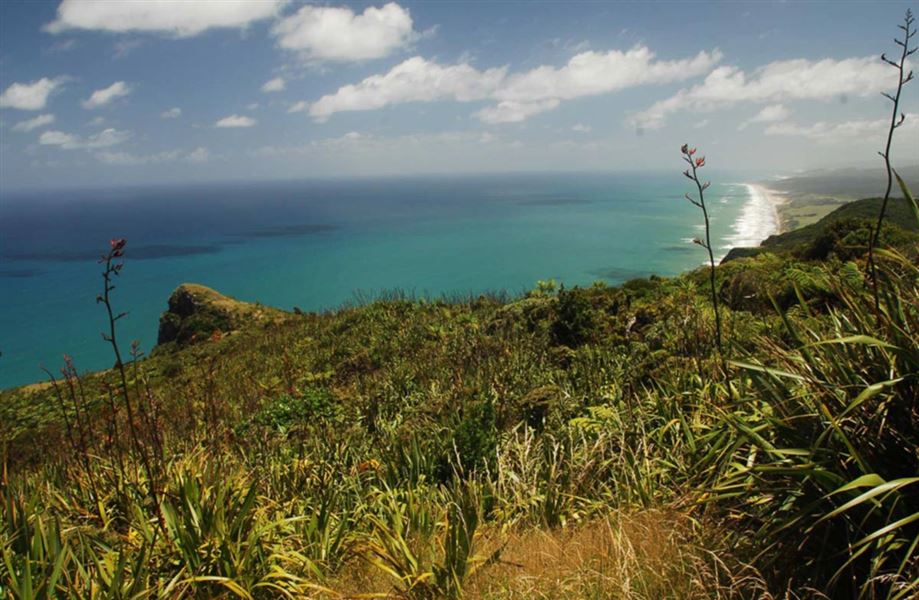
Climb up and over an ancient volcanic crater for some of the best views in the region - pass through some pristine coastal vegetation dominated by Pohutukawa.
Elevation
Cover mapped summer 2023/24.
Description
Beginning from Aranga Beach this track zigzags up the impressive volcanic remnant known as Maunganui Bluff. Turn around at the summit or continue north to Waikara Beach.
From the summit, the track descends into the Waitapu Saddle, then climbs once more before heading down onto the beach. There is a camping area but no facilities at the end of the track. Return the same way as there is no road access to this end of the track.
Getting there
From Dargaville head north on SH12 for 36 km, then turn onto Aranga Coast Road and follow this for 6.5 km. The track starts at the end of Aranga Coast Road at Aranga Beach.
Know before you go
There is no road access to the northern end of the track - you must plan for a return trip.
Access further north along the coastline is limited to the intertidal zone, ie wet sand. The land above the high tide mark is private land and trespassers may be prosecuted.
Weather
Forecast at the start of the track