Matamataharakeke Track
Alerts
Check the DOC website for current alerts and conditions before you go. This site gets current alert info from DOC, but is not an official source of information.
Part of the original Waikawau to Kennedy Bay route used by gold miners and loggers. It goes up the main ridge past a series of lookouts giving views over bush covered hills to coast and islands.
Elevation
Cover mapped summer 2023/24.
Description
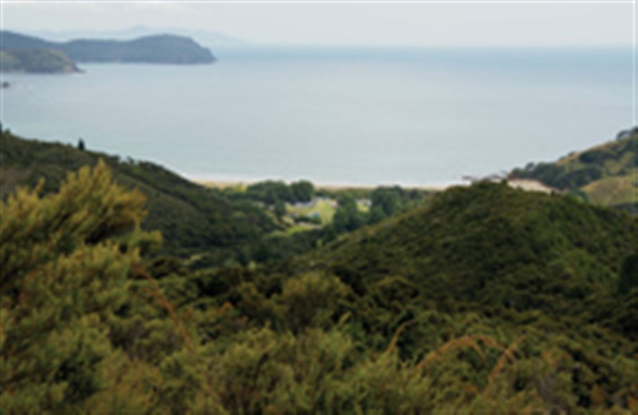
View from Matamataharakeke track
Begin at the back of the Pump paddock at the Waikawau Campsite, crossing over a stile next to the Matamataharakeke Stream.
The track is part of the original Waikawau to Kennedy Bay route used by gold miners and loggers. It goes up the main ridge past a series of lookouts giving views over bush covered hills to coast and islands.
Getting there
Waikawau Bay is 42 km north of Coromandel town. The track starts opposite the Waikawau Bay Conservation Campsite Office at the top of the Pump paddock.
Weather
Forecast at the start of the track