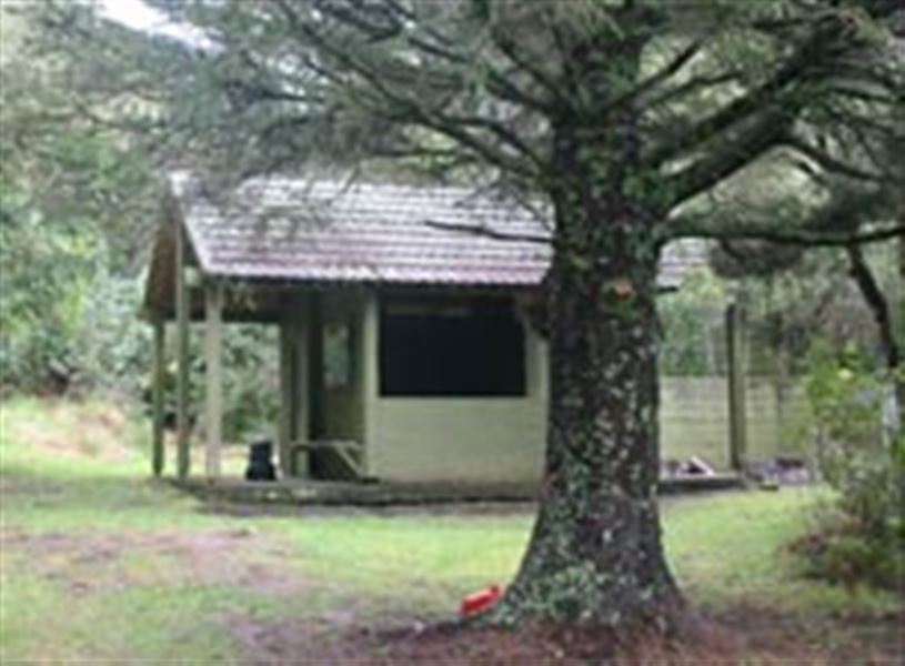
Masters Shelter to Golden Crown Ridge
Alerts
Check the DOC website for current alerts and conditions before you go. This site gets current alert info from DOC, but is not an official source of information.
The Golden Crown Ridge Track begins behind Masters Shelter. The 2-3 hour walk climbs around a series of rocky knolls before continuing steeply upwards through beech forest to the top of the range.
Elevation
Cover mapped summer 2023/24.
Description
Masters Shelter was built in 1977 in memory of Lester Masters. It replaces the earlier Masters Hut, which had been built in 1952 at a time when the roadway was 14 kilometres away. From Masters Shelter a steep track descends 100 metres to Matthews Stream.
The Golden Crown Ridge Track begins in manuka behind the shelter. After about 20 minutes the track emerges into the open, and then climbs around a series of rocky knolls before continuing steeply upwards through beech forest to meet the track on the top of the range, about 2-3 hours.
There are two options from here:
- To the north this track leads to No Man's Road (2 hours 30 minutes).
- The track to the south links with tracks to Sentry Box, Park's Peak and the Upper Makaroro Huts. It also links to the main range via Aranga Hut.
Getting there
Mangleton Road is the closest Ruahine Forest Park access road to Hastings and Napier. From the road end, direct access to the Ruahine’s ridge tops is provided by this track and Mangleton Road to Park's Peak Ridge.
Mangleton Road is reached via Big Hill Road. Big Hill Road is approximately 45 km from Hastings or 60 km from Napier. Follow State Highway 50 to Maraekakaho and turn right into Kereru Road. On reaching Kereru, turn right into Big Hill Road. The turnoff to Mangleton Road is on the right.
10 kilometres along Mangleton Road a sign marks the start of a public right of way to Masters Shelter. A 1.5 kilometre drive across paddocks leads to a carpark and the park boundary. Masters Shelter is 100 metres from the carpark.
Know before you go
Leave farm gates as found.
Weather
Forecast at the start of the track