Mangaweka Scenic Reserve Track
Alerts
Check the DOC website for current alerts and conditions before you go. This site gets current alert info from DOC, but is not an official source of information.
Enjoy great views over the Rangitikei River terraces on this short loop walk.
Elevation
Cover mapped summer 2023/24.
Description
This is a great short walk and the track is easy to follow. Although there are some steep parts it is within most people’s capabilities.
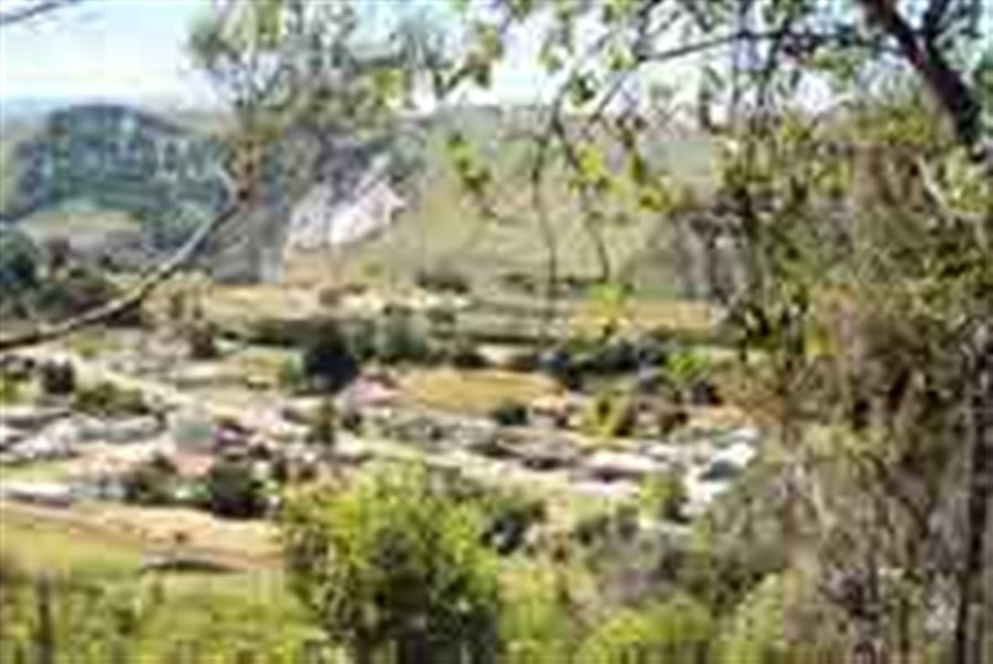
At the first big kahikatea, look left and you’ll see an open, grassy area providing stunning views out across the Mangaweka river terraces and the cliffs cradling the Rangitikei River, to the Ruahine Ranges.
Further on, the track heads into forest with large matai, rimu, tawa and titoki trees.
Getting there
From Mangaweka, drive south and turn right onto Te Kapua Road. Follow this for about 600 m until you reach a little off-road carpark by a farm gate on the right-hand side of the road. The track begins on the other side of the road, so beware of traffic.
Know before you go
The track can be slippery and boggy when it is wet.
Rocks fall on the track. Follow signage and do not stop between the rockfall signs.
Weather
Forecast at the start of the track