Mangapohue Natural Bridge Walk
Alerts
Check the DOC website for current alerts and conditions before you go. This site gets current alert info from DOC, but is not an official source of information.
Walk through an impressive limestone gorge that passes underneath a 17 m high natural arch.
Elevation
Cover mapped summer 2023/24.
Description
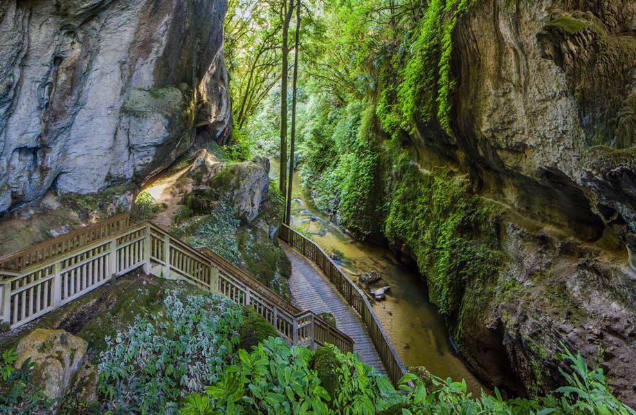
Mangapohue Natural Bridge is a highlight on the scenic drive from Waitomo Village to Marokopa. The track is pushchair-friendly and follows a boardwalk through an impressive limestone gorge that takes you underneath a natural bridge.
The 17 m high limestone arch, which spans the Mangapohue Stream, is all that remains of an ancient cave system. From here the track becomes stepped and passes under the bridge giving a superb view of the ceiling studded with stalactite-like formations and an excellent view back down the gorge.
Combine this walk with Piripiri Cave Walk and Marokopa Falls Walk on a scenic drive from Waitomo to Marokopa.
Getting there
The track starts on Te Anga Road, 25 km from Waitomo Village.
Know before you go
There is no public access into the neighbouring farm. Stay within the boundaries of the reserve.
Weather
Forecast at the start of the track