Mananui Tramline (Māhinapua Walkway)
Alerts
Check the DOC website for current alerts and conditions before you go. This site gets current alert info from DOC, but is not an official source of information.
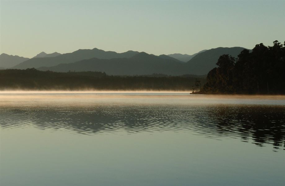
This flat, easy walk or mountain bike ride, suitable for children, follows an old logging tramline and passes beautiful Lake Māhinapua.
Elevation
Cover mapped summer 2023/24.
Description
Woodstock Rimu Road to Picnic Point
Starting from the car park off the Woodstock Rimu Road, the eastern end of the walkway leaves the road and joins a historic logging tramline which is followed for the rest of the trip.
After a straight flat section section, the track climbs gradually around the side of a small hill before reaching the turn-off to Picnic Point. The track to Picnic Point is a side trip to a small pebbly beach on the edge of Lake Māhinapua which is about 15 minute walk from the turn-off. Picnic Point and return to the carpark is about one hour and is a popular walk for those not wanting to go along the whole walkway.
Picnic Point turnoff to Mananui Bush
Soon after the turn-off to Picnic Point the tramline leaves the scenic reserve and crosses a creek into Māhinapua Forest. This area was commercially logged before being grazed for a short time. It then became an experimental forestry station and was logged again in the 1970s.
The track continues through the forest before descending around the side of a small hill to lower lying land. Elevated board walks are used to cross this swampy area, which floods regularly. After crossing this swamp the track sweeps around to the site of the Mananui Sawmill that was started in 1885. From here the walkway crosses Māhinapua Creek and its swampy margins via a foot bridge and through a privately owned deer farm, before emerging on S 6 just north of Mananui bush.
Getting there
Access is from a signposted car park approximately 8 km south of Hokitika on SH6 or from a car park on the eastern side of Lake Māhinapua on the Woodstock Rimu Road. The walk can be done from either direction.
Know before you go
After heavy rain, water may rise and cover the boardwalk so it becomes impassable.
The track is part of the West Coast Wilderness Trail and is a Grade 2: Easy mountain biking experience. You can expect a wide track with a good surface and occasional board walks. The track is a mixture of flat sections and gentle up and downhill.
This is a shared-use track. Follow the mountain bikers code: respect others, respect the rules, respect the track.
Weather
Forecast at the start of the track