Lindis Valley tracks
Alerts
Check the DOC website for current alerts and conditions before you go. This site gets current alert info from DOC, but is not an official source of information.
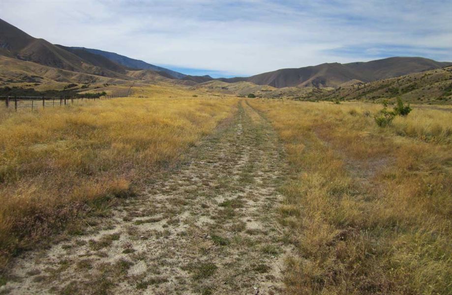
A range of tracks for walkers and mountain bikers alike, in an attractive, upland valley. Easily accessed off SH8 between Tarras and Omarama.
Elevation
Cover mapped summer 2023/24.
Description
Chain Hills and Coal Creek Conservation Area
Turnoff SH8 onto Goodger Road drive along the unsealed road to the Tim Burn car park. Goodger Road has been badly storm damaged and a 4WD is required. It is recommended that walkers and bikers park at Tim Burn car park and start their walk/ride from there.
There is no access to Pleasant Valley car park.
There is a panel with a map of the area and its tracks. The small Coal Creek Conservation Area protects a native fishery.
Shirlmar Track
Time: 2-2.5 hr one way
Distance: 9 km
From Pleasant Valley, this track heads up the right branch of the Tim Burn to the northern end of the Chain Hills, 1,000 m above sea level, before dropping down into Dunstan Creek.
Long Acre Track
Time: 1.5-2 hr one way
Distance: 7 km
“This track branches off McPhies Ridge Track to head up the Chain Hills before dropping down the other side into Dunstan Creek.
Chain Hills Track
Time: 1-1.5 hr one way
Distance: 5 km
From its junction with Shirlmar Track, this track undulates south along the tops of the Chain Hills to connect with the Long Acre Track. The Chain Hills Track continues to Dunstan Pass, giving access to the Lauder Conservation Area.
McPhies Ridge Track
Time: 6-7.5 hr
Distance: 25 km
This public easement through private farmland is a route that goes up and along McPhies Ridge. It links Cluden Creek Road to Goodger Road, providing good views of the Chain Hills.
Nine Mile Historic Reserve
The reserve is 6 km down Old Faithful Road and can be reached by vehicle, on foot or by mountain bike. The main focus here is the old stone Lindis Hotel. The nearby Lindis River was the site of Otago's first gold discovery.
Camping is available in the reserve behind the hotel.
Getting there
The Lindis Valley is a 45 minute drive from Wanaka on SH8, between Tarras and Omarama.
The Tim Burn car park is located at the end of Goodger Road. Goodger Road has been badly storm damaged and is only accessible by 4WD. It is recommended that walkers and bikers park at Tim Burn car park and start their walk/ride from there.
There is no access to the Pleasant Valley car park.
The McPhies Ridge Track can also be accessed from Cluden Creek Road – cross the small bridge over the Lindis River to park at the trailhead.
Know before you go
- Neither hunting nor dogs are permitted on these tracks and reserves.
- Fires are not permitted in the historic reserve and campers are asked to take their rubbish with them.
- The only public toilet in the area is at the Nine Mile Historic Reserve.
- Access tracks cross private property. Respect livestock and property, leave gates as you find them and use stiles where provided.
Avalanche risk
This area has terrain that can produce avalanches that cross the track, usually from May into November. View avalanche information.
Weather
Forecast at the start of the track