Leyland O'Brien Tramline Track
Alerts
NIWA weather risks
NIWA's Parks Weather site lists daily weather risks for the forecast point below.
Sorry, we can't show NIWA weather or alerts on this site. NIWA doesn't permit paid apps to do this.
Forecast point: Wairere Falls (400m) · 8km away
Check the DOC website for current alerts and conditions before you go. This site gets current alert info from DOC, but is not an official source of information.
Explore the old Leyland O’Brien tramline besides the headwaters of the Ngamuwahine River.
Elevation
Cover mapped summer 2023/24.
Description
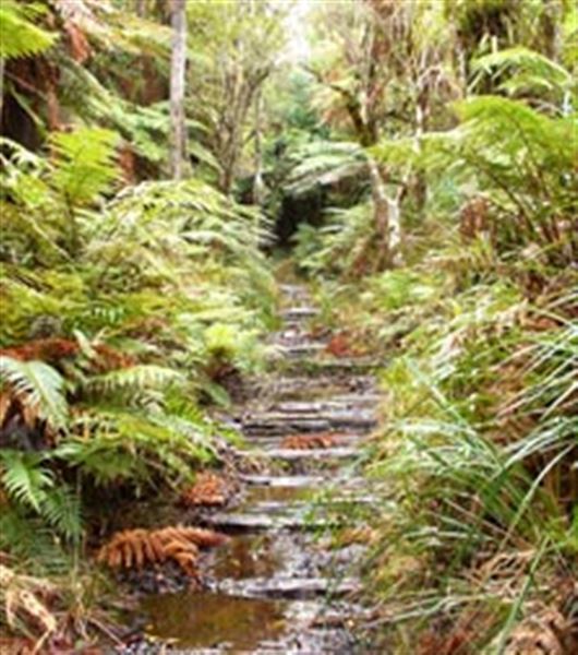
This track links Whakamarama Road with the North–South Track, following the old Leyland O’Brien tramline. From the end of Whakamarama Road, walk down the Pā Kereru Track for 100 m until you reach a junction. Take the left track, which runs beside the headwaters of the Ngamuwahine River. This first section is flat.
After about 1 hr 30 min, the track crosses the river and the tramline climbs towards the junction with the Ngamuwahine Track. It is 1 hr 30 min to the end of Ngamuwahine Road from this junction.
The track continues southeast for a further 30 min to meet up with the North–South Track. Return the same way or carry on the North-South Track to reach Te Whare Okioki or Hurunui Hut.
Getting there
Leyland O'Brien Tramline Track is in the south of the Kaimai Mamaku Conservation Park. It starts at the end of Whakamarama Road, just north of Tauranga off SH2.
Grid reference for track entrance: Topo50 map sheet BD36, E1861117, N5817137
Know before you go
Note that rivers in this area can rise very quickly after rain.
Consult a topographic map.
Weather
Forecast at the start of the track