Lake Kaitawa Fairy Springs Track
Alerts
Check the DOC website for current alerts and conditions before you go. This site gets current alert info from DOC, but is not an official source of information.
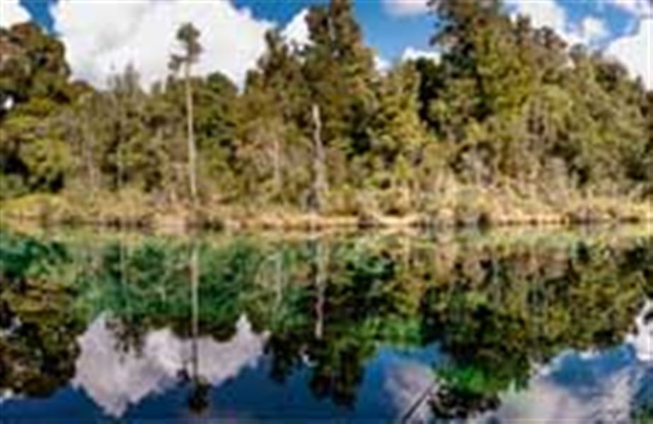
This one hour walk will lead you around Lake Kaitawa, a small lake to the south of Lake Waikaremoana. Along the way take the track to Green Lake and Fairy Springs.
Elevation
Cover mapped summer 2023/24.
Description
The track leads around the lake past some majestic rimu trees to a turn-off near a small bridge. A left turn here takes you to a translucent green pool in the forest. Water wells up gently as 'Fairy Springs' in this pool.
The water flows from Lake Waikaremoana through 'leaks' in the lake bed. Attempts were made from 1948 to 1955 to seal the leaks to maximise the water available for power generation. But water still percolates through gaps in the rock (landslide debris from the Ngamoko Range) to emerge as springs feeding the upper Waikaretaheke River and Fairy Springs.
The track leads around this pool and back to the bridge. Climb over the stile and return to the power station along a gravel road.
Getting there
About 12 km from the Āniwaniwa Visitor Centre towards Wairoa a signpost indicates the turn-off on the left to Kaitawa. Drive down the sealed road to the Kaitawa Power Station. A track on the left of the powerhouse crosses a footbridge over a large stream, the upper part of the Waikaretaheke River, which is diverted here by canal into Lake Kaitawa.
Weather
Forecast at the start of the track