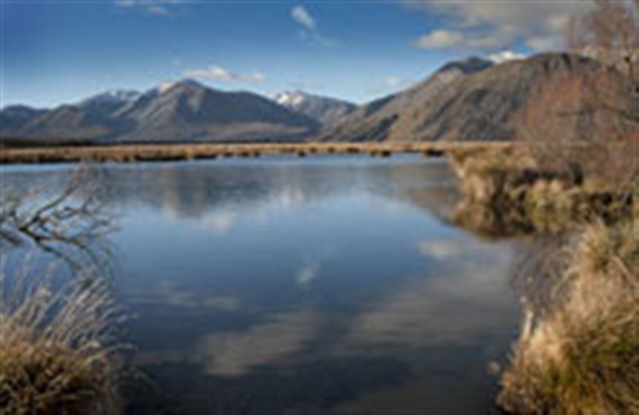
Lake Heron tracks
Alerts
NIWA weather risks
NIWA's Parks Weather site lists daily weather risks for the forecast point below.
Sorry, we can't show NIWA weather or alerts on this site. NIWA doesn't permit paid apps to do this.
Forecast point: Woolshed Creek Hut (840m) · 12.9km away
Check the DOC website for current alerts and conditions before you go. This site gets current alert info from DOC, but is not an official source of information.
Explore the area around Lake Heron on these tracks - discover kettle holes, and views of the lake and surrounding mountains.
Elevation
Cover mapped summer 2023/24.
Description
Kettle Hole Walk
Time: 10 min
Distance: 360 m
A short easy walk to a kettle hole - part time wetlands that were formed when huge blocks of ice broke off the retreating glacier, leaving depressions that sometimes fill with water.
The flowering plants that live in kettle holes are mostly very small, rare and have special ways of using the changing water levels to their advantage.
Getting there: The track starts on the access road to Lake Heron car park, off Hakatere Heron Road.
Lake Hill Track
Time: 45 min
Distance: 1.5 km
It's an easy walk up Lake Hill - a great place to appreciate the lake and surrounding mountains and the effects of past glaciers.
Getting there: Start the track from Lake Heron car park, 1.7 km along the lake shore, off Hakatere Heron Road.
Harrisons Bight Track
Time: 1 hr
Distance: 2.5 km
This track is used by 4WD vehicles over summer. It provides access to one of the best fishing areas in mid-Canterbury.
Getting there: Start the track from Lake Heron car park, 1.7 km along the lake shore, off Hakatere Heron Road.
Double Hut Track
Time: 3 hr
Distance: 10 km
An old musterers' hut, Double Hut makes a good base for exploring the area, climbing Mount Taylor or for hunting. The track crossses the Rakaia Valley to the Lake Emily section of Te Araroa.
Getting there: Start the track from Lake Heron car park, 1.7 km along the lake shore, off Hakatere Heron Road.
Four wheel driving
Harrison Bight Track is open to 4WD vehicles over the summer. Find out about opening dates and access permits.
Getting there
These tracks are accessed from Hakatere Heron Road, about 31 km west of Mount Somers. Leave Mount Somers on Ashburton Gorge Road, then turn right into Hakatere Heron Road (23 km).
Nearby
Weather
Forecast at the start of the track