Lake Hauroko Lookout Track
Alerts
NIWA weather risks
NIWA's Parks Weather site lists daily weather risks for the forecast point below.
Sorry, we can't show NIWA weather or alerts on this site. NIWA doesn't permit paid apps to do this.
Forecast point: Okaka Lodge (978m) · 19.6km away
Check the DOC website for current alerts and conditions before you go. This site gets current alert info from DOC, but is not an official source of information.
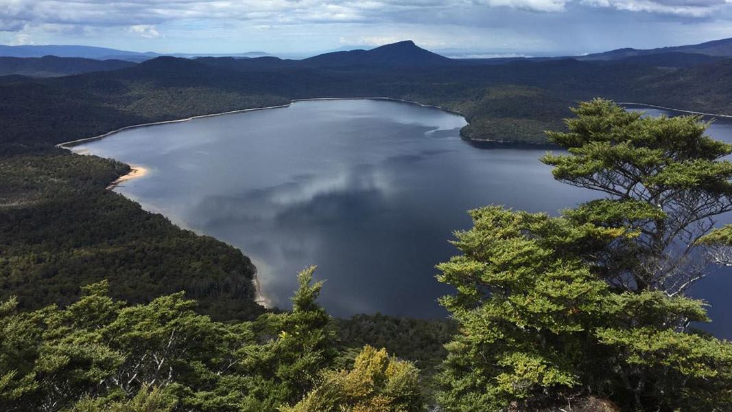
This steep tramping track climbs from the edge of Lake Hauroko to a lookout with great views over the lake and nearby mountain ranges.
Elevation
Cover mapped summer 2023/24.
Sampled from the national 8m elevation model. No LiDAR survey covers this route yet.
Description
This is a tramping track that is steep and rough, but well worth the effort.
The track near the jetty follows along the lake edge before climbing steeply to the lookout.
On a clear day there are stunning views of Lake Hauroko, Foveaux Strait to the south, the Takitimu Mountains to the east, and the Princess and Kaherekoau Mountains in the northwest.
Getting there
This track starts and ends at Lake Hauroko in Fiordland, Southland.
To get to Lake Hauroko from Tuatapere, head north towards Clifden (12 km, 10 min), and turn west along the Lillburn Valley Road to Lake Hauroko (about 36 km to the carpark, 20 km of which is unsealed road).
Know before you go
This is a tramping track so you will need good fitness and moderate to high level backcountry (remote areas) skills and experience, including navigation and survival skills.
Weather
Forecast at the start of the track