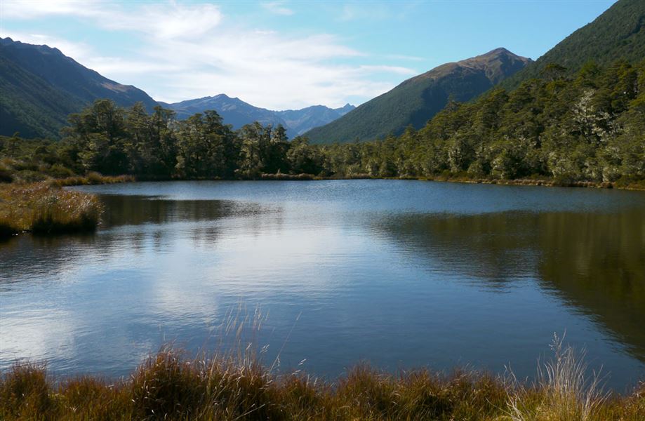
Lake Christabel tracks
Alerts
NIWA weather risks
NIWA's Parks Weather site lists daily weather risks for the forecast point below.
Sorry, we can't show NIWA weather or alerts on this site. NIWA doesn't permit paid apps to do this.
Forecast point: Devilskin Saddle (1234m) · 5.7km away
Check the DOC website for current alerts and conditions before you go. This site gets current alert info from DOC, but is not an official source of information.
A number of tracks lead to a hut at Lake Christabel.
Elevation
Cover mapped summer 2023/24.
Description
Lake Christabel via Lake Christabel Track
Time: 6 - 7 hr one way
The track begins about 10 km along Palmer Road, at the Blue Grey River Bridge, and follows the true right bank to the lake. The hut is about 30 minutes past the head of Lake Christabel, on the true left side of the north branch of the Blue Grey River.
Lake Christabel via Robinson River and Saddle Track
Time: 2-3 days one way
From the end of Palmer Road it is 5-8 hours up the Robinson Valley to the Mid Robinson Hut, with the Top Robinson Hut 5-8 hours further on. From the Top Robinson Hut it is 4 hours up the left branch via a marked track and snowpole route to the Robinson Saddle, then 4 hours down to Lake Christabel Hut.
Rough Creek Track
Lake Christabel can also be accessed from Lewis Pass to the east, via the Rough Creek Track.
Getting there
Turn off SH7 onto Palmers Road 13 km west of Springs Junction.
Know before you go
Weather conditions can change rapidly, particularly on the tops. Rain can quickly make even small streams treacherous to cross.
Wasps can be common from December to April, carry antihistamine if you are allergic to their stings.
Nearby
Weather
Forecast at the start of the track