Kumeti Road end tramping tracks
Alerts
Check the DOC website for current alerts and conditions before you go. This site gets current alert info from DOC, but is not an official source of information.
From Kumeti Road end in Eastern Ruahine Forest Park you can take tramping tracks to Opawe Rd and Kiritaki Hut.
Elevation
Cover mapped summer 2023/24.
Description
Kumeti Road to Kiritaki Hut
Time: 5-6 hr
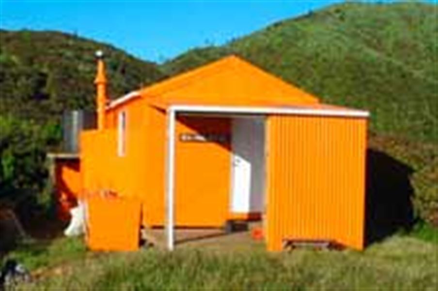
Approximately 2 - 3 hours from the Kumeti Road End on the east to west crossing, the track heads south down a ridge to a stream. It then turns up steeply to Kiritaki Hut amongst a mass of leatherwood.
Kumeti Road to Opawe Road
Time: 6-7 hr
This track is recommended for experienced trampers. This day trip over the southern range passes through rimu and mountain forests and the largest, unbroken mass of leatherwood in New Zealand. There are no open tops and the track is well defined, although the area is exposed and it is often windy and cloudy.
Getting there
Kumeti Road is located 13 km from Dannevirke. Dannevirke is 85 km from Napier on State Highway 2. Head south from Dannevirke, turn right into Maharahara Road and take the next right in Kumeti Road.
Follow the Mangapuaka Stream upriver for 1.3 km to reach the start of the track, which is on the true right of the river. The river section is not a marked or maintained route. Note that it’s dangerous to cross or follow the river when the water level is high which can occur during or after heavy rain. How to cross rivers safely.
Know before you go
Nearby
Weather
Forecast at the start of the track