Kiriwhakapapa Loop Track
Alerts
NIWA weather risks
NIWA's Parks Weather site lists daily weather risks for the forecast point below.
Sorry, we can't show NIWA weather or alerts on this site. NIWA doesn't permit paid apps to do this.
Forecast point: Waitewaewae Hut (310m) · 19.8km away
Check the DOC website for current alerts and conditions before you go. This site gets current alert info from DOC, but is not an official source of information.
This well-graded, family-friendly loop track passes through regenerated native forest.
Elevation
Cover mapped summer 2023/24.
Description
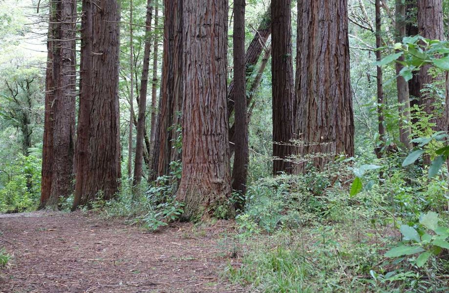
This well-graded walk passes through forest that has regenerated well after being logged for its rimu and other podocarp trees in the 1930s. Another attractive feature is the many planted redwoods.
It connects with a low-level tramping track that follows old bush tramlines through to the Mikimiki valley, and with Kiriwhakapapa to Blue Range Hut , atramping track that ascends the Blue Range to the Blue Range Hut, approximately 2–3 hours away.
Getting there
The loop is off the Blue Range Track at the end of Kiriwhakapapa Road, 7 km from State Highway 2, about 16 km north of Masterton.
Nearby
Weather
Forecast at the start of the track