Kauri Block Track
Alerts
Check the DOC website for current alerts and conditions before you go. This site gets current alert info from DOC, but is not an official source of information.
This walk follows a ridge through regenerating bush and native plantings beneath the Te Kauri Pā. All visitors to this site are asked to be respectful to these sites of cultural significance.
Elevation
Cover mapped summer 2023/24.
Description
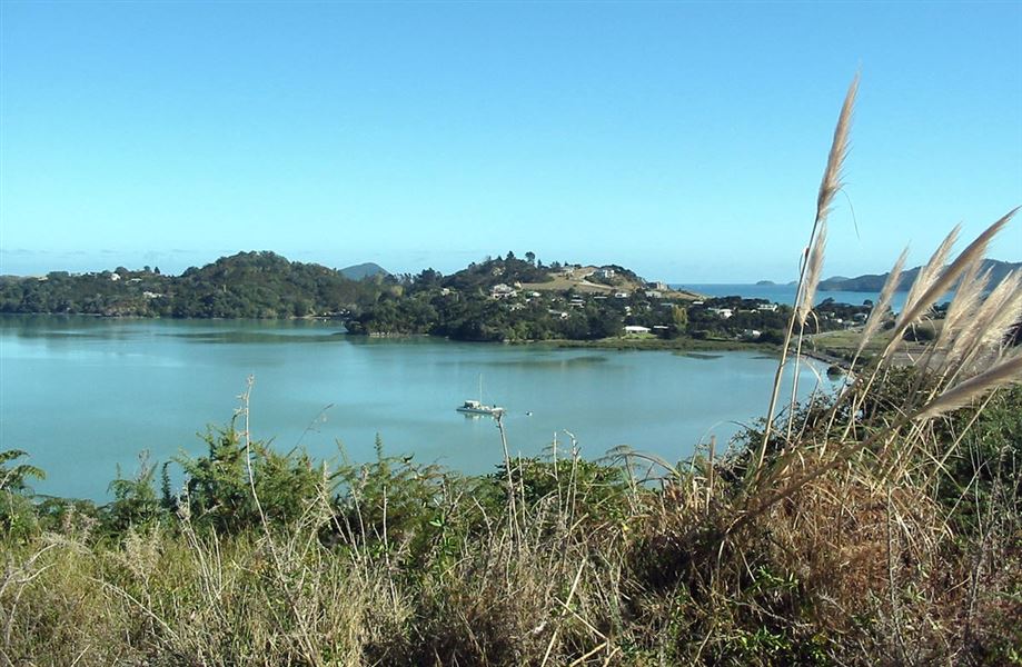
The track forks 10–15 minutes in. A brief walk up the right hand fork takes you to the highest point, an old pa site which offers spectacular 360° views of the Coromandel Ranges, Islands and township. Back on the main track follow the ridge through regenerating bush and native plantings to where it emerges at Harbour View Rd.
Getting there
Access is from the top of Harbour View Road or down a right of way beside 356 Wharf Road in Coromandel town.
Weather
Forecast at the start of the track