Kakepuku Track
Alerts
NIWA weather risks
NIWA's Parks Weather site lists daily weather risks for the forecast point below.
Sorry, we can't show NIWA weather or alerts on this site. NIWA doesn't permit paid apps to do this.
Forecast point: Mt Pirongia (959m) · 15.6km away
Check the DOC website for current alerts and conditions before you go. This site gets current alert info from DOC, but is not an official source of information.
The Kakepuku Track in Kakepuku Historic Reserve climbs up through bush to the summit of Kakepuku, an old volcano.
Elevation
Cover mapped summer 2023/24.
Description
From the car park there is a walking track to the summit. This track is an old farm road and is of an easy gradient. This replaces an old track which has been closed.
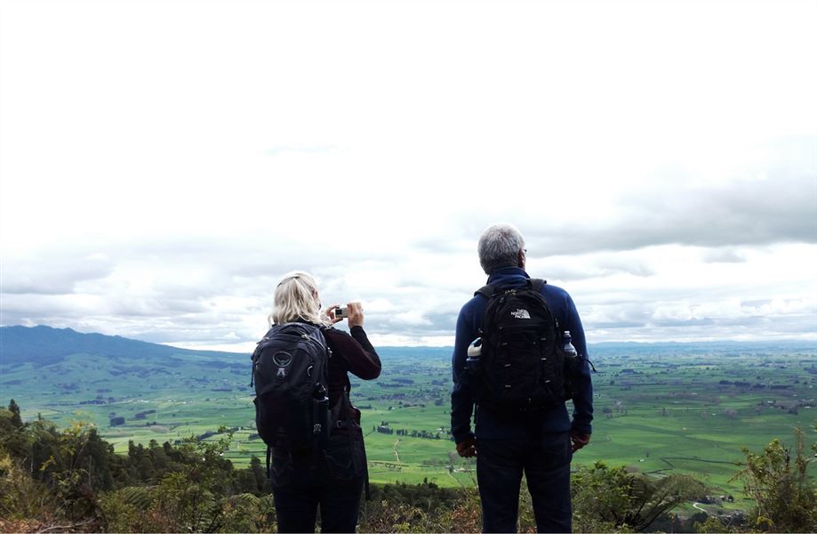
Once at the top continue along a ridge through a fine remnant of original forest in the ancient crater and finally onto the summit itself (449 m). Climb a few last steps to the top of the new lookout tower.
Getting there
Off Kakepuku Mountain Rd.
Know before you go
Dogs are prohibited from all Waikato area tracks except for certified guide dogs and permitted hunting dogs.
The Kakepuku track can get very muddy and slippery in winter and periods of prolonged rain. Caution is advised.
Nature and conservation
Sights and sounds of tui and kereru can be found and heard in the Kakepuku Historic Reserve. Look out for North Island robins, 30 of which were released here in 1999.
The plant species in the reserve include tawa, rewarewa, kohekohe, mangeao and pukatea.
Weather
Forecast at the start of the track