Kaiaraara Track to Mt Hobson (Hirakimata)
Alerts
NIWA weather risks
NIWA's Parks Weather site lists daily weather risks for the forecast point below.
Sorry, we can't show NIWA weather or alerts on this site. NIWA doesn't permit paid apps to do this.
Forecast point: Mt Heale Hut (400m) · 0.8km away
Check the DOC website for current alerts and conditions before you go. This site gets current alert info from DOC, but is not an official source of information.
Walk to the remains of the old kauri dam, and up to the summit of Mt Hobson (Hirakimata) for a 360-degree panorama.
Elevation
Cover mapped summer 2023/24.
Description
Kaiaraara Track offers a striking experience for walkers - a wide array of flora from tiny plants and ground cover to large trees in established forest, historic sites and, towards the summit, panoramas of the island, its bays and beaches and neighbouring islands.
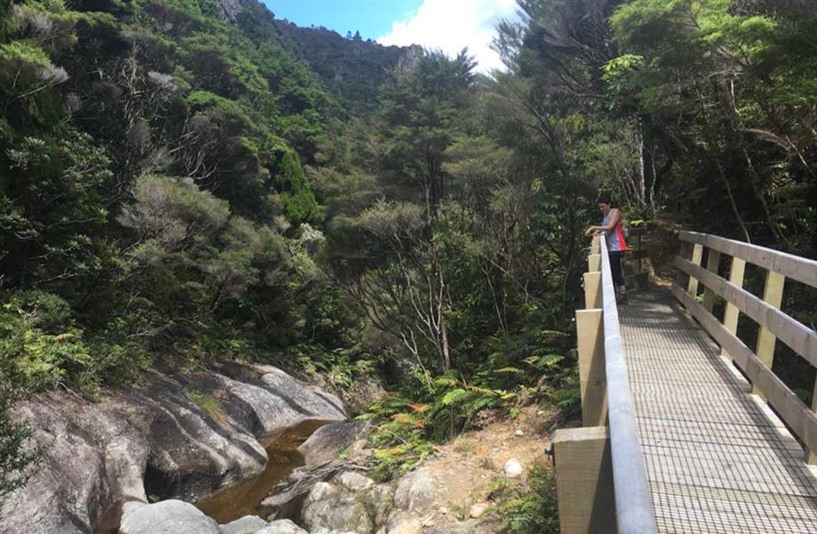
From Forest Road, the track rises steadily to Cooper’s Castle Track junction, crossing the stream in several places using a series of suspension and wooden bridges. A short distance from this junction is a side-track to the remains of the Lower Kauri Dam.
What remains of the Lower Kauri Dam (1 hr 30 min from Kaiaraara Hut) was built in the 1920s, along with six smaller dams higher up. Logs estimated to contain seven million feet of timber were slid into the dams. Once loaded, the dams were tripped one after the other so a full blast hit the lower dam, propelling the logs into Kaiaraara Bay. The Lower Dam was washed away in a storm in 2014 and only the base can be seen in the stream.
The track above the dam area winds through semi-mature forest with good examples of tōwai and large kohekohe. From here, the track climbs steeply via wooden steps that protect black petrel nesting grounds and sensitive ecosystems to the summit.
Getting there
From Port Fitzroy, follow Kaiaraara Bay Road to its end. A short walk leads to Kaiaraara Hut and the start of the track.
Know before you go
Keep to the tracks to avoid damaging rare native plants and disturbing black petrels.
Nature and conservation
Nearing the summit, the track leads into mature forest where logging was too difficult and fires on the lower slopes did not reach. Remnants of an ancient and precious conifer forest, rimu, Kirk’s pine, pink pine and kauri, can be seen here.
Keep an eye out for black petrel. Once widespread on the North Island, breeding colonies of these large, burrow-nesting seabirds are now confined to Great Barrier Island Aotea and Hauturu / Little Barrier Island. The main colony on Great Barrier Island Aotea breeds on the slopes of Mt Hobson (Hirakimata) between October and May each year. Mature birds spend months at sea flying as far as South America and only return to the island to breed. Watch out for them on the road at night.
Nearby
Weather
Forecast at the start of the track