Jacks Pass Track to Mt Isobel
Alerts
Check the DOC website for current alerts and conditions before you go. This site gets current alert info from DOC, but is not an official source of information.
This track joins with Mt Isobel Summit Track to reach the summit. It is the shortest route to the summit but is steep and best for experienced trampers.
Elevation
Cover mapped summer 2023/24.
Description
This track joins with the Mt Isobel Track after 1.9 km. It's another 1.3 km to reach the summit.
The route begins further up Clarence Valley Road (than Mt Isobel Track) at Jacks Pass.
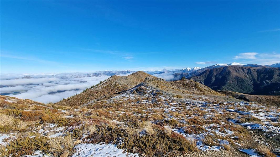
This is the shortest route to the summit but is steep, rocky and is an exposed in the sub-alpine terrain. It is a poled route in places.
Be prepared for the exposed sections with warm layers, a waterproof jacket and sturdy hiking boots.
The track is best suited for fit, experienced trampers.
Getting there
From Hanmer Springs, turn off Jacks Pass Road onto Clarence Valley Road. Drive approximately 7 km to Jacks Pass. The road becomes a unsealed road shortly after leaving Hanmer.
This is a backcountry road. You may encounter:
- Road closures
- Seasonal ice and snow
- Rough and steep road conditions
Know before you go
Pack for a day hike
This track is steep and exposed above the tree line. Pack warm layers, a waterproof jacket and wear sturdy hiking boots.
Weather
Forecast at the start of the track