Huka Falls to Aratiatia Rapids Track
Alerts
Check the DOC website for current alerts and conditions before you go. This site gets current alert info from DOC, but is not an official source of information.
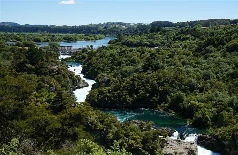
Several times a day the gates at the Aratiatia dam are opened to release the full flow of the river - a spectacular sight from the lookout points. Stay safe and keep clear of the rapids at all times.
Elevation
Cover mapped summer 2023/24.
Description
Keep clear of the rapids at all times
Never enter the spillway or downstream areas.
Walk or ride to Aratiatia Dam from Huka Falls by following the track that begins after the last viewing area over the falls. The track climbs onto the cliff tops with magnificent views of the river.
It then gradually descends and continues along the river through lovely bush cover as far as the SH1 bridge. After passing under the bridge, and climbing to a lookout over the Wairakei power station, the track opens out to grass and regenerating bush until you reach Aratiatia. Try to finish the walk when the spill gates are due to open.
Return via the same track or arrange transport from Aratiatia.
Mountain biking
This is a shared-use track. Follow the mountain bikers code: respect others, respect the rules, respect the track.
Getting there
The Aratiatia Dam and Rapids are located on Aratiatia Road, off SH5 10 km north of Taupō.
Know before you go
Stay safe at the Aratiatia Rapids
Stay out: Keep clear of the Aratiatia Rapids spillway and downstream area at all times. Never enter, swim or kayak in this area.
Pay attention: Stay alert for the signs, sirens and safety warnings.
Be aware: Spills may happen at any time, even when there is no siren.
Spill schedule
- Scheduled viewing of tourism spill: 10 am, 12 pm, 2 pm, (4 pm summer only)
- Controlled operational spill: Year round and anytime 24/7
- Uncontrolled water flow (without warning): Year round and anytime 24/7
- Major works are underway which will mean larger and more frequent dam spills
Weather
Forecast at the start of the track