Huka Falls Lookout Walk
Alerts
Check the DOC website for current alerts and conditions before you go. This site gets current alert info from DOC, but is not an official source of information.
Take a wheelchair-accessible short walk to the lookout over Huka Falls.
Elevation
Cover mapped summer 2023/24.
Description
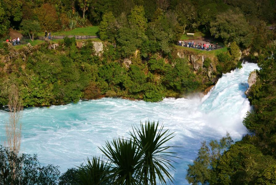
From the Huka Falls carpark, cross the bridge over the falls and turn left. There are several lookout points on this easy access walk to take advantage of the views of the spectacular Huka Falls.
The incredible volume of water tumbling over the falls is due to the Waikato River being forced through a channel of hard rock only 15 m wide and 10 m deep. The river emerges with a rush at the northern end to form the falls.
The level of the river above the falls is controlled by the Control Gates Bridge. Installed in 1941, the gates allow water stored in Lake Taupō to be used for generating power through the Waikato River's nine hydro-electric powerstations.
Flow rates increase depending on power demands, which in turn can alter the height of the Huka Falls from 7 to 9.5 m.
Getting there
Huka Falls is a five minute drive north of Taupō, off SH1 on Huka Falls Road.
Know before you go
The car park is locked overnight from 5:30 pm - 8:30 am. A $30 release fee applies outside these hours.
Weather
Forecast at the start of the track