Horokaka Track
Alerts
Check the DOC website for current alerts and conditions before you go. This site gets current alert info from DOC, but is not an official source of information.
Horokaka Track is a challenging track that includes strenuous climbing. The track leads up to an old logging road and then follows the ridge to the Horokaka Transmitter.
Elevation
Cover mapped summer 2023/24.
Description
The Horokaka Track leads up onto an old logging road and heads up the ridge to the Horokaka Transmitter. The Whakapono and Tumanako tracks lead off this track if you want a shorter walk.
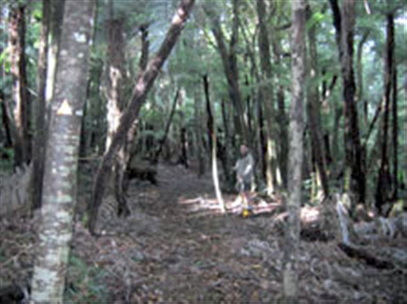
It is a rough track, which follows the main ridge through thick vegetation. The views from the track are very rewarding on a clear day.
Although not a great distance to the Horokaka Transmitter, the track is very undulating and travel is quite slow. Allow 3 hours from the bush edge to the track end at the Transmitter service road. You can go up the road to the Transmitter for the views. Behind the Transmitter shed is the start of the Tangihua Main Ridge Track.
The Horokaka Track joins up with the Tangihua Main Ridge Track and Te Haua Uru Track to form a loop that takes 9 hours with strenuous climbing.
Getting there
The Horokaka Track is found in the Tangihua Forest which is located halfway between Whangārei on Northland’s east coast and Dargaville on the west coast. Your best access into Tangihua Forest is from Omana Road.
The Omana Road Tangihua access car park has parking for 15 cars. You will need to walk 30 minutes along a formed road to the bush line.
The track starts just inside the bush line to the right of the road.
Know before you go
- The Horokaka, Tangihua Main Ridge Track and Te Haua Uru Track loop route should only be tackled by experienced trampers.
- There are razor back ridges and lack of hand holds.
- Trampers should have a high degree of skill and experience, route-finding ability, be well equipped and use topographical maps.
- There is no water source in the forest. Trampers must carry water their own water.
- Watch where you are going at all times. There are steep drops in places.
- The ridge is exposed to rough weather. Make sure you are well equipped and have appropriate warm and waterproof tramping gear.
- Strenuous climbing required in places.
- Stay on the marked tracks.
- There may be wasps and wasp nests in the area.
History and culture
The tramping tracks and routes within Tangihua Forest pass by sites of cultural and spiritual significance to the Parawhau Ngapuhi people. For this reason we ask that trampers stay on the marked tracks.
Weather
Forecast at the start of the track