Helena Falls Track
Alerts
Check the DOC website for current alerts and conditions before you go. This site gets current alert info from DOC, but is not an official source of information.
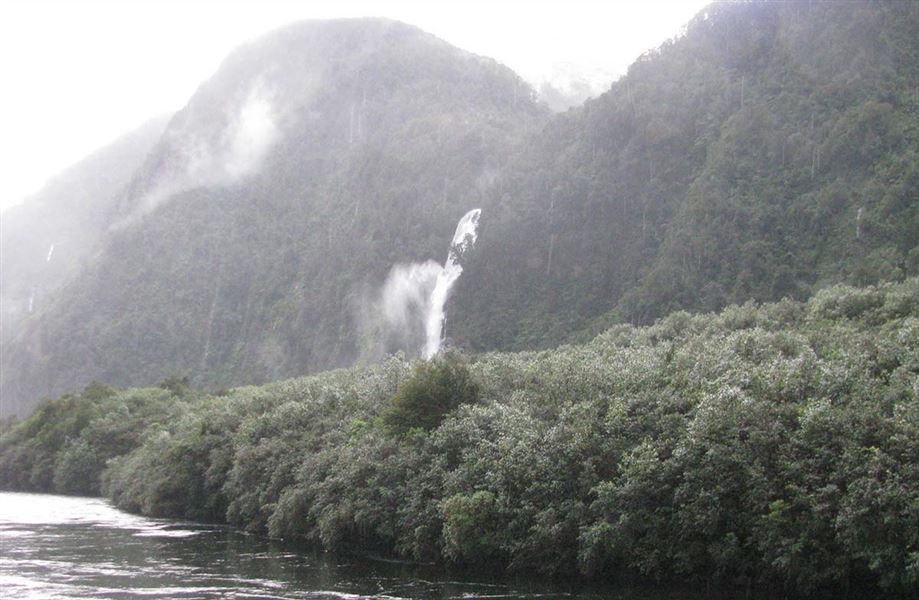
This tramping track in Deep Cove, Doubtful Sound leads around the cove to a stream looking up to Helena Falls.
Elevation
Cover mapped summer 2023/24.
Sampled from the national 8m elevation model. No LiDAR survey covers this route yet.
Description
From Deep Cove Hostel, walk over the hill and turn left to cross the bridge over the Lyvia River.
The start of the track is on the left about 200 m from the Lyvia Bridge.
After crossing the bridge, a loop track of about 45 minutes provides access over undulating terrain to the stream at the base of Helena Falls. Take care when wet as the rocks are slippery.
Opposite the ‘busy’ side of Deep Cove, admire two different areas of regenerating bush, one at the end of the first power station development (1972) and more recently (2002) when a second exhaust pipe (tailrace) was added to the power station to improve efficiency.
Getting there
This track is in Deep Cove, Doubtful Sound, Fiordland, starting from Deep Cove Hostel.
The easiest way to get to Doubtful Sound is to travel by boat from Pearl Harbour wharf in Manapouri, across the lake to West Arm, then travel by coach over the Wilmot Pass to Deep Cove.
This needs to be booked in advance with one of the local transport operators.
Weather
Forecast at the start of the track