Grandview Mountain Track
Alerts
Check the DOC website for current alerts and conditions before you go. This site gets current alert info from DOC, but is not an official source of information.
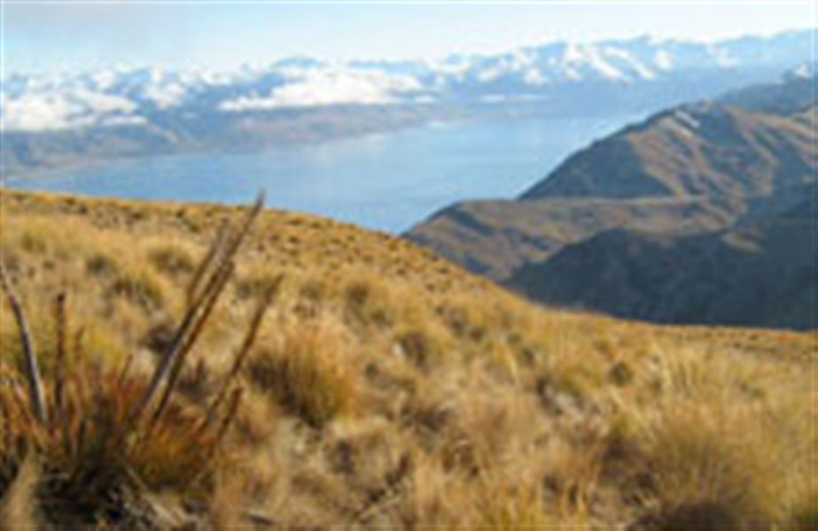
Trampers are well rewarded for their effort from the upper sections of the greater Grandview Range with inspiring views over Lakes Hāwea and Wānaka and mountains beyond.
Elevation
Cover mapped summer 2023/24.
Sampled from the national 8m elevation model. No LiDAR survey covers this route yet.
Description
Nook Road car park – Grandview Mountain
Time: 4 to 6 hr
Distance: 18 km
The Grandview Mountain Track (previously known as Grandview Creek Track) gives access to the vast Grandview Range.
Pockets of kānuka shrubland merge with the pastoral land on the lower section of the track before opening up to the tussockland that dominates the tops.
Climbing steadily the track passes several small remnant beech forests on the opposite side of the creek, before reaching the station boundary at 1260 m then Grandview Mountain at 1398 m; an elevation gain of 958 m from the car park.
Trampers are rewarded with stunning panoramic views over Lake Hāwea, the pastoral flats through to Lake Wānaka and local peaks. On a clear day, Mt Aspiring/Tititea’s distinct profile can be seen on the horizon.
A marked route leading from the track drops into the Grandview Creek giving access to the conservation area that bears its name. Continued travel into the conservation area becomes restricted by steep bluffs.
Grandview Mountain Track – Breast Hill-Timaru Creek Track (Nook Road car park to Timaru Creek Road near Gladstone)
Time: 9 to 12 hr
Distance: 26 km
This tramp combines Grandview Mountain Track and Grandview Ridge Track with Breast Hill Track for a full day or overnight option.
Mountain biking
Mountain bikers can travel to Pakituhi Hut but cannot exit via the Breast Hill Track.
Horse riding
This is a shared us track, be aware of cyclists and other people usig this track.
Getting there
Track entrance is signposted at carpark at the end of Nook Rd, approx 6 km east from the Lake Hāwea Township.
Know before you go
- The access track crosses Lake Hāwea Station, a working high country station. Respect livestock and property, remain on the marked track, and use the stiles where provided.
- Dogs and guns are not permitted on this access track.
- In summer, very hot and dry conditions are common so make sure you carry plenty of water and have adequate protection against the sun.
- Alpine conditions may be experienced at any time of the year, with the higher country being subject to snow during the winter months. Ensure you carry suitable clothing and sturdy boots. Be prepared.
- 1:50 000 topographical map CA 13 Lake Hāwea is recommended.
Weather
Forecast at the start of the track