Glenroy Water Race Track
Alerts
Avalanche NZ
Check Avalanche NZ for the full avalanche forecast before you go.
Sorry, we can't show Avalanche NZ forecasts or alerts on this site. Avalanche NZ doesn't permit it.
Check the DOC website for current alerts and conditions before you go. This site gets current alert info from DOC, but is not an official source of information.
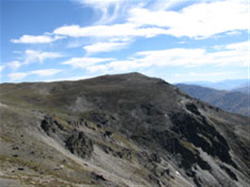
The track follows the historic Welshmen’s Water Race through several creeks, then steadily climbs to Ben Cruachan with good views of Lake Wakatipu, the Basin and Nevis Bluff.
Elevation
Cover mapped summer 2023/24.
Sampled from the national 8m elevation model. No LiDAR survey covers this route yet.
Description
From the Coal Pit Rd car park, the route follows the historic Welshmen’s Water Race through several creeks, then steadily climbs to the Remarkables Conservation Area boundary. The route then follows Mt Salmond Ridge to Ben Cruachan to give good views of Lake Wakatipu, the Basin and Nevis Bluff.
The water race was built by Welshmen for what were unsuccessful gold mining operations around Gibbston.
Crosses private land.
Getting there
This track begins at the end of Coal Pit Saddle Road.
Know before you go
This is a high altitude walk and suitable for summer only, when snow may still be present. Be prepared for sudden weather changes.
No vehicles.
Weather
Forecast at the start of the track