Glenorchy Walkway
Alerts
Avalanche NZ
Check Avalanche NZ for the full avalanche forecast before you go.
Sorry, we can't show Avalanche NZ forecasts or alerts on this site. Avalanche NZ doesn't permit it.
Check the DOC website for current alerts and conditions before you go. This site gets current alert info from DOC, but is not an official source of information.
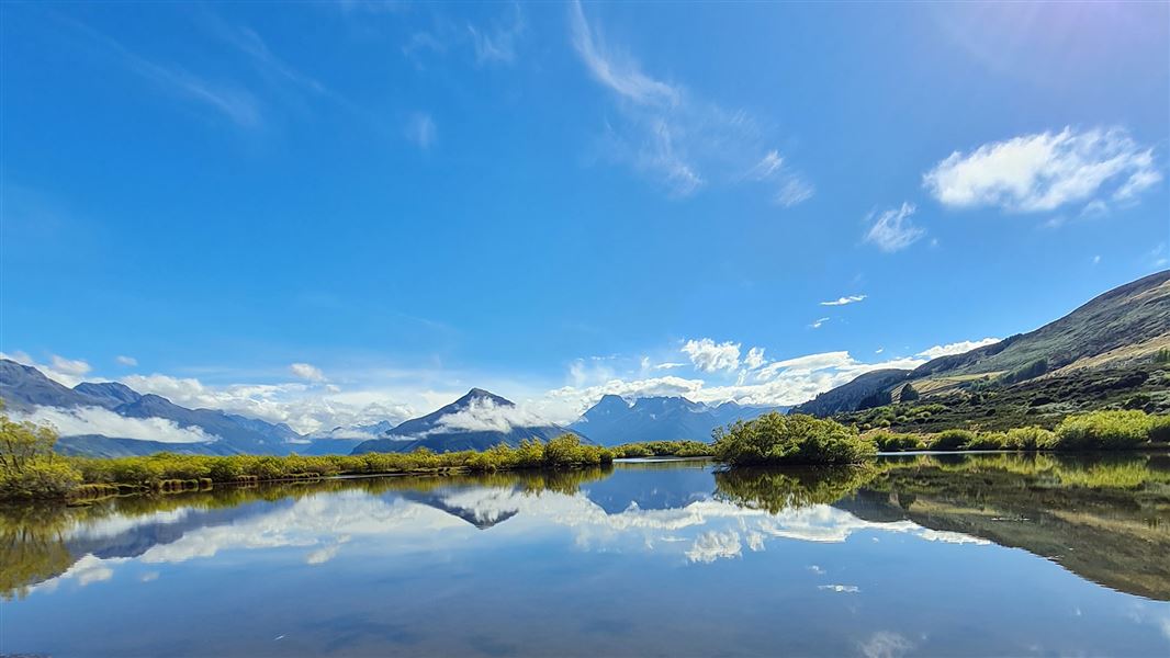
This short walk over a beautiful wetland has plenty of bird life and is great for kids.
Elevation
Cover mapped summer 2023/24.
Sampled from the national 8m elevation model. No LiDAR survey covers this route yet.
Description
This boardwalk track crosses wetlands with plenty of opportunity to view bird life. There are also views of Mt Earnslaw/Pikirakatahi and the surrounding ranges.
Getting there
The track starts at the northern end of Glenorchy – follow the signs near Lake Wakatipu on Mull St. For your safety, do not park or access the track from the Glenorchy Paradise Road - this is a hot spot for accidents.
Know before you go
In heavy or prolonged rain the Glenorchy Lagoon section of the walkway becomes flooded. Care is required.
Nature and conservation
Native species include, pied stilt/poaka, South Island pied oystercatcher/torea, Australasian bittern/matuku-hūrepo, New Zealand shoveller/kuruwhengu, grey teal/tete (in spring), grey duck/parera, and scaup/papango. The New Zealand falcon/karearea may be seen soaring above the wetland hunting for prey.
Weather
Forecast at the start of the track