Glacier Burn Track
Alerts
Avalanche NZ
Check Avalanche NZ for the full avalanche forecast before you go.
Sorry, we can't show Avalanche NZ forecasts or alerts on this site. Avalanche NZ doesn't permit it.
NIWA weather risks
NIWA's Parks Weather site lists daily weather risks for the forecast point below.
Sorry, we can't show NIWA weather or alerts on this site. NIWA doesn't permit paid apps to do this.
Forecast point: Harris Saddle (1255m) · 15.5km away
Check the DOC website for current alerts and conditions before you go. This site gets current alert info from DOC, but is not an official source of information.
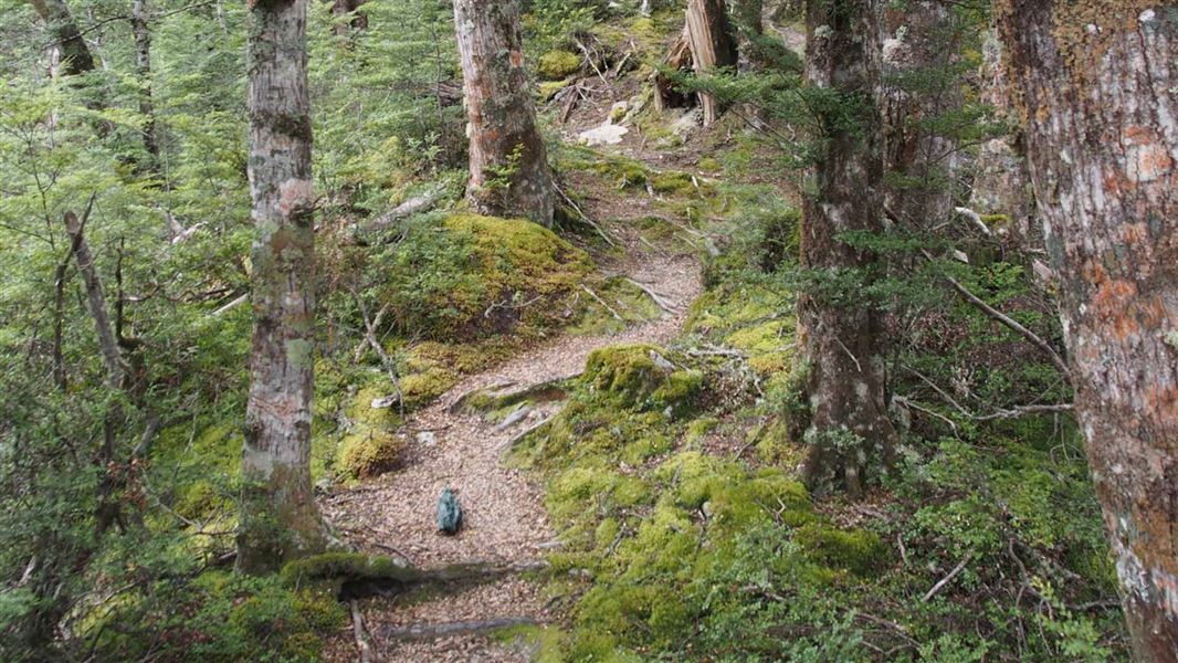
At Glacier Burn you'll climb through beech forest to Glacier Basin. Follow the creek beyond to view the Humboldt Mountains.
Elevation
Cover mapped summer 2023/24.
Sampled from the national 8m elevation model. No LiDAR survey covers this route yet.
Description
Follow the creek until the marker shows where to cross to the true left (looking downstream) and start climbing through beech forest. You can see old saw-milling snig lines near the start of the track. After two hours you will be in Glacier Basin, where you can follow the creek further up to view the Humboldt Mountains. Great bird life.
Getting there
25 minutes from Glenorchy, the track is signposted from the Glenorchy / Kinloch Road.
Know before you go
Don't go above bush line in winter and spring, as the area is prone to avalanches.
Weather
Forecast at the start of the track