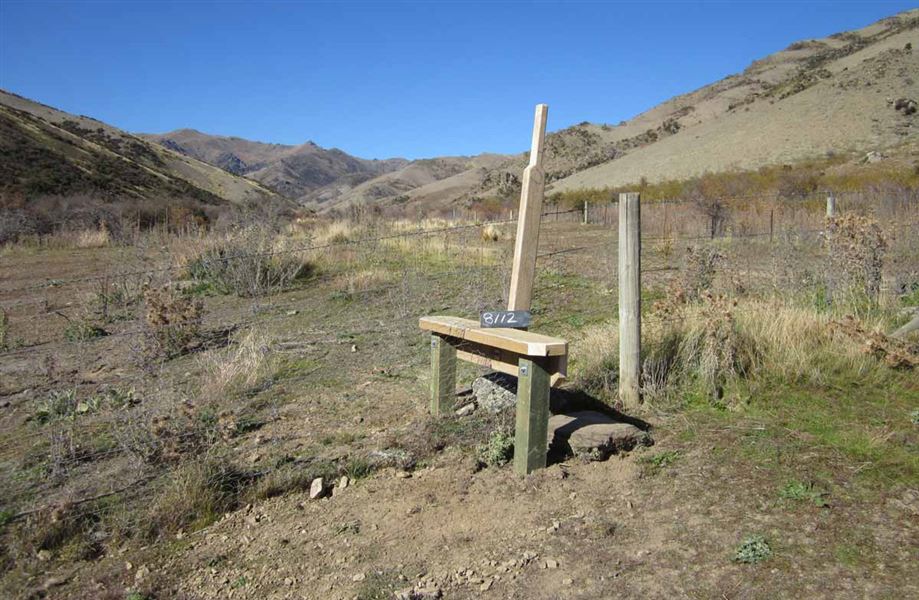
Dry Creek Track
Alerts
Check the DOC website for current alerts and conditions before you go. This site gets current alert info from DOC, but is not an official source of information.
Dry Creek Track provides great backcountry opportunities for short walks, tramping and mountain biking with access to the Dry Creek and Neinei i Kura Conservation areas.
Elevation
Cover mapped summer 2023/24.
Sampled from the national 8m elevation model. No LiDAR survey covers this route yet.
Description
For a short walk or bike ride, follow the marked track through to the conservation area of the same name before continuing up along a dry creek bed through shrub lands to the Neinei i kura Conservation Area.
Getting there
The car park access to Dry Creek, Cloudy Peak and Neinei i Kura is located on Ardgour Road, Tarras. Ardgour Road is a loop road with access either 2 km north or 6 km south of Tarras.
Know before you go
- In summer, very hot and dry conditions are common so make sure you carry plenty of water and have adequate protection against the sun.
- Alpine conditions may be experienced at any time of the year, with the higher country being subject to snow during the winter months. Ensure you carry suitable clothing and study boots. Be prepared.
- These public access tracks cross through a working high country station. Respect the landowner’s livestock and property; stay on the marked track until you reach the conservation lands, leave gates as you find them and use stiles where provided.
- Camping is permitted on conservation land only.
Weather
Forecast at the start of the track