Coromandel Walkway and mountain bike track
Alerts
Check the DOC website for current alerts and conditions before you go. This site gets current alert info from DOC, but is not an official source of information.
Walk or mountain bike between Fletcher Bay and Stony Bay.
Elevation
Cover mapped summer 2023/24.
Description
The walking track follows an easy grade. Return the same way, or create a circuit using the Coromandel mountain bike track but note this is much steeper and slippery in places.
Coromandel Walkway
Time: 7 hr return
Distance: 20 km return
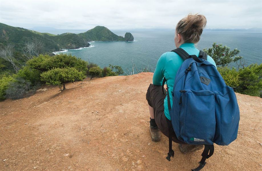
The coastal walk between Stony and Fletcher Bays crosses farmland and goes through coastal forest with views of the Pinnacles, Great Barrier Island (Aotea Island) to the north and Cuvier Island (Repanga Island) in the east. The track follows an easy gradient with a short steep section in to and out of Poley Bay. It is part of an old bridle path formed by early pioneers to link the two bays.
A recent track repair means the Coromandel Walkway is now a different experience. In some sections, the track is narrower than it was.
The nature of the terrain and Coromandel’s weather means heavy rain can result in debris on the track. We’ll aim to clear that debris as soon as we can after rain events. This may force temporary track closures. Exercise caution on the track.
We’re in the process of installing updated signage to emphasise the nature of the track and the need for people to be alert and cautious.
Due to the remoteness of the track, we continue to advise visitors to check our website for latest updates and plan before you go.
Swimming here is hazardous because of submerged rocks.
Coromandel mountain bike track (Grade 5)
Distance: 8 km
The more challenging mountain bike track follows a stock route across farmland and regenerating forest, and rewards walkers with spectacular views of the ranges and islands of the Hauraki Gulf from the top of the track. For mountain bikers, this is a steep traverse, often slippery and challenging and only suitable for advanced riders and people with a good level of fitness.
From Stony Bay campsite, orange triangles mark the track, which turns left at the ford and past the two houses. The track continues over farmland for a short distance and then heads up a steep clay track.
Allow 1 hr 30 min to reach the top. Following the fenceline down, there are views of Port Jackson and Fletcher Bay. The two tracks meet below a historic shepherd's hut just north of Poley Bay and from there it is another 40 min to Fletcher Bay. Returning back to Stony Bay from this point will take about 2 hr 30 min. Cell phone coverage is limited.
Getting there
From Coromandel, follow Colville Road north for 31 km to Colville Bay. From there, take Port Jackson Road for 30 km to Fletcher Bay or Port Charles Road for 20 km to Stony Bay.
Nearby
Weather
Forecast at the start of the track