Cooks Cove Walkway
Alerts
Check the DOC website for current alerts and conditions before you go. This site gets current alert info from DOC, but is not an official source of information.
Walk to Cooks Cove where Captain James Cook stopped in 1769 as part of his circumnavigation of New Zealand - with information panels, a hole-in-the-wall, and a safe cove to swim in, this walk is a good option for children.
Elevation
Cover mapped summer 2023/24.
Description
Cross a small, open paddock to begin the Cooks Cove Walkway. The track then climbs through light bush and across open grassland, keeping mainly to a farm track just below the cliff tops.
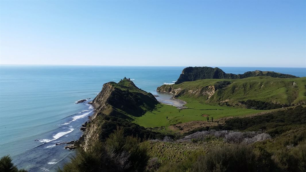
After about 20 minutes, you will reach a lookout point (120 m above sea level). This spot gives the first views of Cooks Cove itself. The cove consists of a sheltered inlet with the weather-beaten Mitre Rocks standing to the left of the entrance and Pourewa Island rising up on the right.
The track winds down through regenerating bush, and after 200 m passes a small pond and then enters the coastal flats of the cove. Here you can explore the hole-in-the-wall (Te Kotere o te Whenua) and inspect the New Zealand Historic Places Trust 1966 memorial, commemorating Cook's visit. Use the information panel shaped as a frame to take a photo. Grab a picnic lunch at the cove amongst the picturesque surroundings.
Information panels
The walkway is named after the Cove and the English sailor and explorer, Captain James Cook. He visited the area in 1769 as part of his circumnavigation of New Zealand.
Information panels along the walkway tell the story of Cook and the crew of the Endeavour's visit to Cooks Cove (Opoutama), the history of local iwi Te Aitanga-a-Hauiti, and the excavation of an archaeological site at Opoutama first occupied by Maori.
These panels are the result of a joint partnership between DOC and Te Aitanga-a-Hauiti.
Getting there
Cooks Cove Walkway is situated at the southern end of Tolaga Bay, 52 km north of Gisborne. On SH35 take the Wharf Road turnoff, 2 km south of Tolaga Bay township.
There is a small carpark adjacent to the walkway entrance. You can also park at the larger beach carpark adjacent to the motor camp 200 m beyond the entrance.
Know before you go
The walkway may not be used to gain fishing access to Pourewa Island or to fishing grounds (fishing equipment and firearms are prohibited).
No camping or lighting of fires.
No mountain biking.
Use of this walkway has been made possible through the generous permission of the landowners, Hauiti Incorporation. Respect the property, do not disturb or approach farm animals and leave gates as you find them.
What to expect
The walkway is suitable for medium levels of fitness as there is some hill climbing required. Good, comfortable walking shoes are recommended.
Sections of the track cross sloping farmland and can be muddy and slippery in winter.
Toilets are available near the wharf and the cove.
There is no drinkable water on the walk - bring your own.
Be prepared
Remain on the track at all times. The coastal bluffs are extremely steep and for safety reasons should not be approached.
Weather
Forecast at the start of the track