Clay Ridge Track
Alerts
Check the DOC website for current alerts and conditions before you go. This site gets current alert info from DOC, but is not an official source of information.
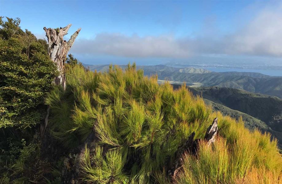
Climb up to Mt McKerrow for a great view of Wellington harbour and the surrounding hills near the top.
Elevation
Cover mapped summer 2023/24.
Description
The track starts at Clay Forks at the intersection of Five Mile Loop Track and Middle Ridge Track. It climbs Clay Ridge to the summit of Mt McKerrow (706 m).
Return via the same track or for a round trip, return via the Mt McKerrow Track and Ōrongorongo Track.
Getting there
Catchpool valley is 12 km south of Wainuiomata. Follow the Coast Road for 10 km to the Remutaka Forest Park entrance, then follow the Catchpool valley road for 2 km to the car park and information area.
If the water is flowing over the ford on the road, park before the ford and use the Nga Taonga Nature Walk to reach the car park.
From the car park follow Five Mile Loop Track or Middle Ridge Track to Clay Ridge Track.
Weather
Forecast at the start of the track