Catchpool Loop Walk
Alerts
NIWA weather risks
NIWA's Parks Weather site lists daily weather risks for the forecast point below.
Sorry, we can't show NIWA weather or alerts on this site. NIWA doesn't permit paid apps to do this.
Forecast point: Turere Lodge (137m) · 4.1km away
Check the DOC website for current alerts and conditions before you go. This site gets current alert info from DOC, but is not an official source of information.
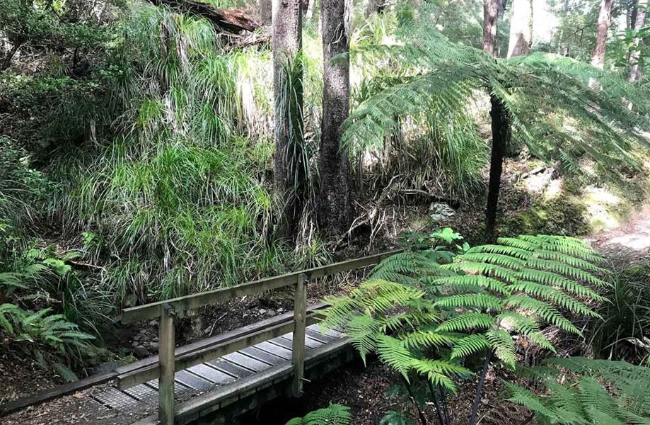
Walk through a nikau grove and podocarp/broadleaf forest.
Elevation
Cover mapped summer 2023/24.
Description
This pleasant and easy walk begins below the carpark area, just beyond the bridge across Catchpool Stream. It leads upstream through a nikau grove and mature podocarp/broadleaf forest to another bridge and the Ōrongorongo Track.
The loop is completed by returning down the Orongorongo Track.
Getting there
Catchpool valley is 12 km south of Wainuiomata. Follow the Coast Road for 10 km to the Remutaka Forest Park entrance, then follow the Catchpool valley road for 2 km to the car park and information area.
If the water is flowing over the ford on the road, park before the ford and use the Nga Taonga Nature Walk to reach the car park.
From the car park go to the downhill side, across the lawn and across the footbridge, to the start of the loop.
Weather
Forecast at the start of the track