Canyon Creek Track
Alerts
NIWA weather risks
NIWA's Parks Weather site lists daily weather risks for the forecast point below.
Sorry, we can't show NIWA weather or alerts on this site. NIWA doesn't permit paid apps to do this.
Forecast point: Brewster Hut (1430m) · 18.6km away
Check the DOC website for current alerts and conditions before you go. This site gets current alert info from DOC, but is not an official source of information.
Discover spectacular waterfalls and a rock bivvy in the Canyon Creek area.
Elevation
Cover mapped summer 2023/24.
Description
Birchwood Road end to Canyon Creek campsite
Track category: Tramping track
Time: 20 min
Distance: 1.5 km
The Canyon Creek campsite is a short walk from the road end. There is a long-drop toilet and flat areas to put up a tent amongst the mountain beech trees.
Walk to Canyon Creek campsite
Canyon Creek campsite to Canyon Creek bushline
Track category: Tramping track
Time: 1 hr
Distance: 3.5 km
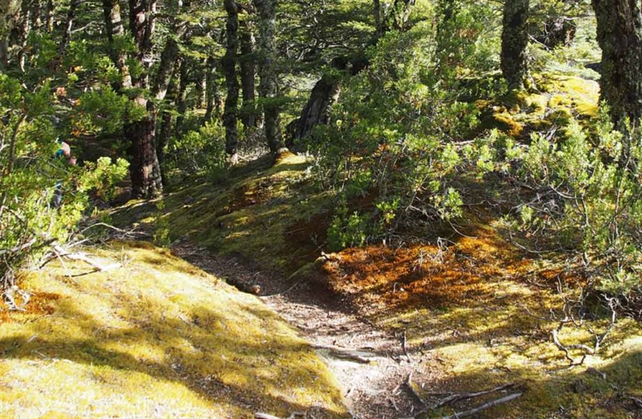
Follow the markers from the campsite to where you cross Canyon Creek. After the creek crossing the track rises steadily through beech forest to an impressive view point in the canyon. The track continues on the true right of Canyon Creek to the bush edge.
Canyon Creek bushline to Canyon Creek bivvy
Track category: Route
Time: 2 hr 30 min
Distance: 3.5 km
It's worth stopping on your journey to admire spectacular waterfalls at the head of Canyon Creek. There is a steep climb over rocky bluffs to gain access to the upper Canyon Creek basin. The rock bivvy lies on the true right of Canyon Creek at coordinates E1328216, N5102551 or grid reference BZ14 282 025.
Trampers enjoy a trip to Canyon Creek waterfalls
Getting there
Turn off SH8 onto Birchwood Road, 17 km south of Omarama. The turnoff is signposted for Ahuriri Conservation Park. The road is suitable for cars until the conservation park boundary 21 km down Birchwood Road. After that a high clearance 4WD vehicle is required to travel the 12 km to the road end.
Know before you go
Map: NZTopo50 BZ14 Mount Barth
Fallen trees; expect longer walking times
The beech forest section of this track has been severely damaged by wind and snow and is not well maintained.
The track is difficult to follow at times. It requires extra time even for experienced trampers.
Weather
Forecast at the start of the track