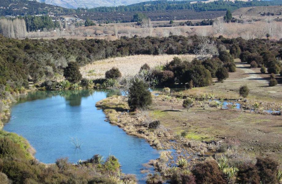
Butterfields Wetland Walk
Alerts
Check the DOC website for current alerts and conditions before you go. This site gets current alert info from DOC, but is not an official source of information.
Situated near the Hāwea River Swing Bridge this small loop track around the Butterfields Wildlife Management Area is suitable for biking, running and walking.
Elevation
Cover mapped summer 2023/24.
Sampled from the national 8m elevation model. No LiDAR survey covers this route yet.
Description
This track provides a family friendly loop option where walkers, cyclists and runners enjoy picturesque views of the native wetland and surrounding peaks as they weave their way through terraced grasslands and kānuka forest.
For a longer option continue on the Newcastle track to Kane Road or on the Hāwea River Track as far as Camphill Road or further on to Lake Hāwea Township.
Butterfields Wetland Walk was funded by the Upper Clutha Tracks Trust. The Central Otago-Lakes branch of Forest & Bird are undertaking a vegetation enhancement project at this site.
Getting there
From SH6 north of the Albert town bridge, turn right onto the unsealed road through the campground. The Butterfields Wetland Walk is accessed after crossing the Hāwea River swing bridge - either entered from 600 m up the Newcastle track or 600 m up the Hāwea River track.
Know before you go
Swing bridges
There's a limit to the number people allowed on the swing bridges at any one time – be prepared to wait at each end if numbers allowed have been reached.
Weather
Forecast at the start of the track