Boyd Creek Track
Alerts
Check the DOC website for current alerts and conditions before you go. This site gets current alert info from DOC, but is not an official source of information.
This difficult tramping track leads from the Milford Road up the Boyd Creek onto the tops of the Countess Range, in the Snowdon Forest area.
Elevation
Cover mapped summer 2023/24.
Description
This is a difficult tramping track.
From the Milford Road, follow the shingle road for about 200 m to a car park and picnic area then a locked gate.
The Boyd Creek tops track cuts across the bog pine and manuka scrub then bypasses the Southland Boys High School Lodge.
The marked track continues to bush line then experienced trampers may explore further into the tops of the Countess Range and the Snowdon Forest area.
Getting there
The start of this track is reached from the Milford Road, Fiordland, about 44 km (35 minutes drive) north from Te Anau.
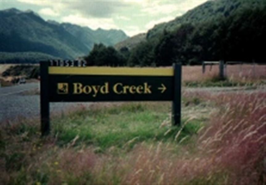
A track sign at the roadside says ‘Boyd Creek’.
Know before you go
This is a tramping track so you will need good fitness and moderate to high level backcountry (remote areas) skills and experience, including navigation and survival skills.
Weather
Forecast at the start of the track