Birch Creek access route
Alerts
Check the DOC website for current alerts and conditions before you go. This site gets current alert info from DOC, but is not an official source of information.
This public access route travels along Birch Creek in the Ahuriri valley.
Elevation
Cover mapped summer 2023/24.
Description
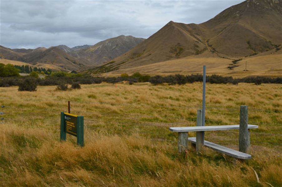
A marked public access easement is signposted off Birchwood Road near Birch Creek bridge. Climb over the stile and follow a lightly marked route to reach public conservation land under Birch Hill and Puke Makariri in Ahuriri Conservation Park.
Getting there
Turn off SH8 onto Birchwood Road, 17 km south of Omarama. The turnoff is signposted for Ahuriri Conservation Park.
Know before you go
Map: NZTopo50 BZ14 Mount Barth
Private property and permissions
This track crosses private land. There is no camping until the conservation area boundary.
Respect the landowner's livestock and property:
- Stay on the marked track until you reach the conservation land
- Leave gates as you find them
- Use stiles where provided
- Keep your distance from livestock.
Dogs
You need permission from the Makarora River Ranch to take your dog into Hāwea Conservation Park using Boundary Creek Track. Email makaroraranch@gmail.com at least 24 hours in advance of your visit to request permission. You must provide a valid worming certificate to ensure your dog is free from hydatids and sheep measles.
Weather
Forecast at the start of the track